

Climatologist Corey Davis, as you sit here this morning, what is it that you think how big of a difference do you think the rains this week are going to make?
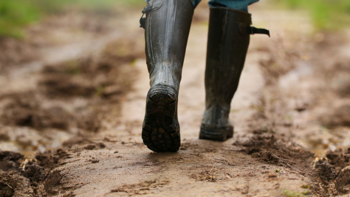
Well Mike, you know it’s still the week of Thanksgiving and the rain has certainly give us something to be thankful for some really good soaking rains across the Carolinas last week when we talked about the forecast who mentioned that we might see one to two inches and I’ll be honest, I was a little bit skeptical of some of those higher amounts, just given how dry it’s been. But we really have seen some good coverage of those higher totals, especially across central and eastern North and South Carolina. And then looking at the drought map for next week. We do expect to see some improvements. The general rule of thumb is that whenever you have at least two inches of rain in a week, that’s usually enough to improve by one category. So we would expect some of the places that are in moderate drought might shift back to just being abnormally dry for the season. And then places that have been in severe to extreme drought could improve by one level on the scales as well. And it kind of depends on exactly where you go across the Carolinas. The real winners look like they’re going to be the state capitals right around Raleigh and Columbia. They both had two to three inches of rain over the last few days. And they had only been a couple inches below normal since the start of the fall. So this event pretty much wiped out those deficits that they had for the season. If you go to places like Charlotte or Fayetteville. They also picked up a little more than two inches from this event, but they had been a little more than five inches below normal for the season. So this one event, almost cut those deficits in half. And then in the mountains. The totals are more varied there. There were some higher amounts. But also places like Asheville only picked up around an inch, and they had been about seven inches below normal for the fall. So this event really just chipped away at those deficits, but certainly was not the drought Buster in those areas. We knew all along it was going to take more than just one event to overcome those deficits that have built up so hopefully this is just the first of many to come.
Not just to chip away at the deficits in the mountains but those wildfires up there as well. They we really needed a good dowsing up there. Unfortunately didn’t get what we had hoped for there.
It’s still going to be really beneficial though for containing some of those wildfires. Just for comparison. A couple of weekends ago, they had only a quarter to a half inch of rain in the mountains and they said that still did a lot to help contain some of those larger fires. So even with an inch or a little more than that in most of those western areas over the past few days. That should go a long way and that rain came just in the nick of time. They’d seen some more fires start over the last week. We had some very windy and less humid days as well. So for instance, on sour town mountain in the Northwest Piedmont they had a large 700 acre fire start over the weekend. It had been spreading pretty rapidly so that rain absolutely is going to be a help for those firefighters.
So it’s been wha,t maybe two months since we’ve had a decent rain in the Carolinas? What does the forecast look like, anything coming in behind this?
Well, this is our big rain of the week, and it’s fortunate that we are able to talk about a big rain in a week. Because like you said it’s been a while since we’ve had anything. There’s a chance of showers this weekend mainly on Saturday and Sunday. The farther east that you go as a system moves offshore, not looking at any significant rainfall amounts from that. The bigger story in our weather over the next week is going to be how cooler temperatures are we’ve struggled to get out of the 40s and 50s over the last few days. And it’s going to stay that way on through the weekend. High temperatures in the 50s Saturday, Sunday even the first part of next week. So Mike, it’s going to feel a lot more like winter here as we get to the end of November.
And as we look ahead towards the winter, forecasters have been calling for El Nino conditions. Are we seeing that take effect now? What are you seeing?
Over the summer we’ve seen a big change in those patterns across the Pacific Ocean. We’ve talked a lot over the last three years about this la Nino event that just wouldn’t go away. We spent three winters in a row in this La Nino pattern. And that tends to be warmer and drier and weather for the Carolinas and that’s what we saw at least for the last couple years. But as we shift toward an El Nino, which has developed over the summer and is now a fairly strong going into the winter, we’re expecting the opposite. We’re expecting more wet weather. Hopefully this event this week is the first sign of that type of pattern returning locally. But even if it takes another month or so for us to get that more consistent, wetter pattern. We are fairly confident in seeing wetter weather across the Carolinas over the next few months. Historically, when we’ve been in these moderate to strong El Nino winters, we have a pretty high chance about a three and four chance of being above normal on our precipitation for the season. So again, that makes us think it’s really only a matter of time before we do settle into more of that wet weather. Certainly expecting some rain and we never can’t count out snow in these El Nino years as well. But in recent years, those snow chances have gone down a little bit because they’ve also been a little bit warmer overall.
Now you mentioned that we look to the Pacific to sort of see the genesis of these type of patterns. Does that mean that we would start seeing the effects of El Nino farther west out west and then moving across to the east or does it sort of just take place all at once to kind of kind of break that out for me?
So right now we’re seeing really the seeds of this El Nino taking shape right over the Pacific Ocean. Generally, when you have that warmer water that pulls up near the surface like we’re seeing now that warms the air above it. And then that warmer air near the equator really contrasts with cold air near the North Pole. That creates a big temperature difference in the northern hemisphere and that temperature difference strengthens the jet streams that flow throughout the northern hemisphere. So what we expect to see in an El Nino winter is a strong Jetstream pretty much anchored right to our south. It’s bringing storm systems through the Gulf of Mexico and up our coastline. Of course those are the type of events that tend to bring us quite a bit of moisture quite a bit of rainfall. And occasionally, some wintry weather as well. Again, we really haven’t seen that take shape locally over the last couple of months. But there are signs that those circulation patterns in the atmosphere mainly out right over the Pacific Ocean have been changing in a way that’s consistent with El Nino. So if we look at some of those past El Nino years, it really varies when those local impacts tend to kick in. Back in 2015. That was the last strong El Nino that we had. We were in a very wet pattern from the very beginning of the fall all through the winter. So there was never really a transition during the fall to that wetter pattern. There have been other years like 1965 That was also a dry fall for the Carolinas when we were in drought especially in the western part of the states. And that year it took until January for us to get more into that wetter pattern. So we would expect sometime between now and say that the first part of next year that that transition will happen for us as well. And again with a good rain event already this week, hoping that that’s at least the start of this change out of our dry fall.