
A wet week over much of the Carolinas, but some dry weather is coming. Let’s talk to Corey Davis, from the Climate Office of North Carolina to get the latest on this.
Well, Mike, we’ve had three really solid rain events over the last week. One of those came through last Friday night into early Saturday morning. Another was back on Monday evening, especially right along the coastline in North Carolina. And then we had some more on Wednesday. So when you add all that rainfall up, we’re looking at pretty widespread totals of at least two inches over the last week across North and South Carolina. Much of South Carolina has seen at least three inches. The Columbia area has had almost five inches in the last week. And then there are also parts of Northeastern North Carolina the Elizabeth City area has seen about five inches in a week, some of the wettest spots. So we’re down along the Outer Banks, nine and a half inches observed at Cape Hatteras. So, the wettest week they’ve had so far this year, one of the wettest weeks they’ve had outside of a tropical system in recent memory so safe to say after they started the year. Pretty dry in a lot of those areas. They have definitely made up for it with that rain over the last week.
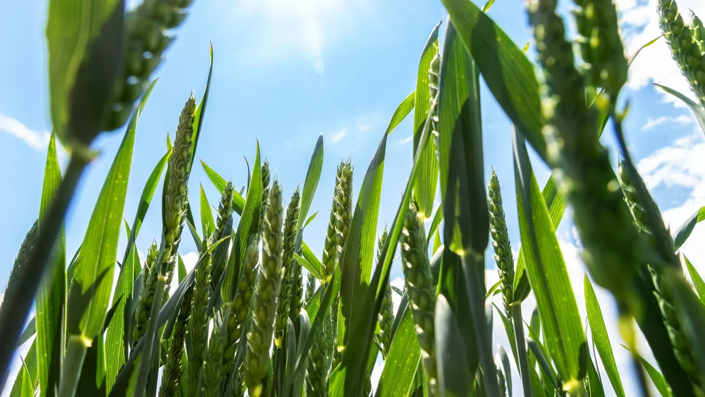
And I understand some areas of eastern North Carolina, that has really helped the winter wheat crop as well. What are you seeing there?
That’s right, really timely rainfall for agriculture, not just for the farmers that are about to start their spring planting, but like you mentioned also for those winter crops that have been in the ground. We got a report this week from Jones County in eastern North Carolina that mentioned how their winter wheat and their barley crops had been lagging a little bit behind mainly because they were delayed in planting last fall with as dry as it had been back in October and November. But they said the rain they’ve gotten in this last week has hit the spot. It’s been exactly what that crop has needed to really catch up to more where it ought to be for this time of the year. So those winter crops that are finishing up are also definitely seeing the benefits of this rainfall.
And as a result of this rainfall, the Drought Monitor has a lot less color on it right now, right?
It certainly does. Now South Carolina this week is back to being drought free, dryness free. There had been one pocket of abnormally dry conditions in the Florence and Darlington areas, but again the rain they’ve seen this past week has wiped that away. We do still have some dry spots across eastern North Carolina and a small area of moderate drought kind of centered on the Greenville region, but that moderate drought had been more expansive last week at this time. And again, with the rains we’d seen in the northeastern part of the state, we saw some solid improvements and expect between the rain that we had yesterday and the rain that’s coming up tomorrow, we may be able to make some more improvements next week.
Hopefully we’ll get some drying in some of these fields because these rains have really dampened things a lot. Climatologist Corey Davis, State Climate Office of North Carolina, great job as always and we appreciate the information. Corey, have yourself a great weekend.
Alright, thanks a lot, you too.