
We’re getting into a time of the year now where we’re starting to see some timely rains come through. We’ve had a few this past week. Let’s find out what kind of an impact that has made on crops and the drought monitor as we turn to our friend Corey Davis from the state climate office of North Carolina over the weekend, some rain, some more at the beginning of this week, what did that look like, Corey?
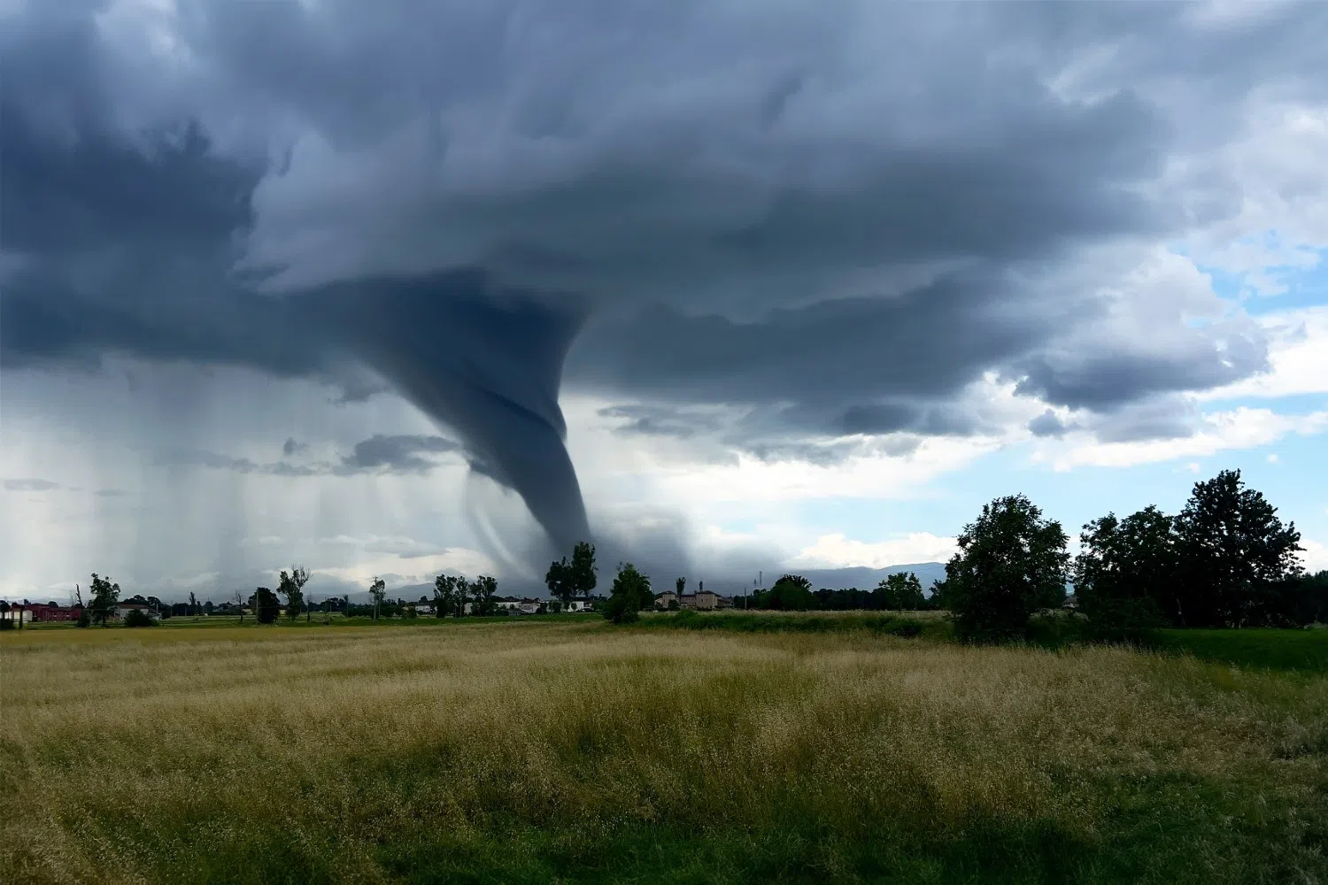
“Yeah, that’s right, Mike, they weren’t exactly April showers, but the first week of May has brought some really solid rain across parts of the Carolinas. This was all tied to a cold front that moved in last Saturday. It lingered through the weekend and into Monday afternoon. So that led to several rounds of rain. The first one of those came late Saturday night into early Sunday morning, down across the sand hills in North Carolina and then down toward Columbia, South Carolina. Some areas picked up two to three inches of rain in the space of just six to eight hours. So a really solid rain event for those areas, and in places like Moore County, North Carolina, that rain on Saturday night alone pretty much wiped away the deficit that they had been in all spring. So we don’t often see that sort of drought Buster type event, but we certainly did last weekend. The next round of rain was on Monday afternoon. This was especially in the triangle area. And then further east, some more good rain, up to two inches in the Raleigh area from that. But also you saw some large hail, quarter sized hail reported across the triangle, and even a tornado out in eastern North Carolina, in the Jamesville area. So it’s worth noting that the month of May is climatologically, our most active month for tornados and for hail. So this is that time of the year when we expect to see more of that severe weather, and of course, that can also bring some heavy rainfall, as we’ve seen over the past week.”
What kind of a difference did we see from this rain this past week? Has that improved conditions on the Drought Monitor at all?
“It has, and they weren’t widespread improvements this week, but we did see some local improvements, again, in the Triangle area and parts of the Central Piedmont in North Carolina, where we saw those two to three inch totals. We were able to peel back some of that abnormal dryness, again, with those deficits basically resetting to zero for the spring. That’s put us back to pretty much near normal conditions. And then in parts of the northern coastal plain in North Carolina, we saw some one category improvements. So in eastern Martin County, those areas had been in severe drought, they’re back to just moderate drought. In parts of Bertie County, they had been in moderate drought, they’re back to just abnormally dry. So those areas, it was really more of just a chipping away. It didn’t totally get rid of those drought conditions, but it was a really nice start to the month of May.
And the farmers have to be happy with that too, especially with plants heading into the ground, seeds going into the ground right now for the growing season of ’25, it was right on time, wasn’t it?
“It really was, Mike, especially for the peanuts and for the soybeans, almost none of those had been planted last week, and we heard some crop reports last week from some of the farmers that said they were holding off a little bit. Their planting had slowed because it had been dry. Well, those latest rounds of rain provided just the moisture that they needed, and we’ve suddenly seen those peanuts and soybeans go in the ground at almost a record pace, well ahead of the five year average for both North and South Carolina. We’ve seen those topsoil moisture conditions improve as well. I think some of the farmers are still a little bit hesitant. They’re worried that, you know, maybe that moisture won’t stick around long. Maybe this is just temporary relief, but it looks like, especially with the forecast showing some wetter weather ahead, I think those farmers are going to be in better shape to get more of those crops in the ground and to get that corn planting finished up.”
Planting rates are ahead of schedule for the country as a whole, as a matter of fact, about five percentage points for most crops right now. So as we turn the page, look towards the future in the next few days, next week, at least. Do we have more rain coming in? Is this going to be something that we can expect to see in the near future?
“Well, it really is, Mike, and it’s kind of deja vu from last week, a couple rounds of rain here in the forecast. One of those actually started last night as another cold front moves through, the front itself will move through today, and we’ll see better chances of rain this afternoon into early Saturday morning. The cold front will also drop our temperatures a little bit. We were in the low 80s today. It’ll be more like low 70s tomorrow and Sunday, and then our next best chance of rain will ramp up on Monday, especially into Tuesday, there’s a low pressure system that’s brewing down along the Gulf Coast. It’ll finally start to slide in our direction by Monday night, and it looks like it could be pretty slow moving and stay over us for a day or two, especially on Tuesday. That looks like the wettest of the next seven days. But some of the forecasts we’re seeing are showing widespread rainfall totals of three inches or more across the Carolinas here over the next week. So I think the farmers will probably be happy with that rain, especially in some of those coastal areas, and especially along the coast in South Carolina, where they maybe haven’t had quite as much rain as they wanted this spring. But in other areas, this could cause some flooding and issues with farmers not being able to get into the field. So you know, be careful what you wish for, Mike, because you just might get it.”