

Plenty of rain, and that’s been good news, especially in some parts of the Carolinas. And to give us the details, I’m turning to North Carolina assistant state climatologist, Corey Davis, and I know there were a few spots in the Carolinas that had been a little bit on the dry side, I’m guessing most of those are being taken care of this week.
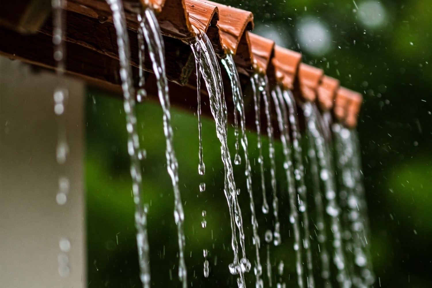
“That’s right, Mike. You know, it was hard to believe even that we finished July with any dryness across the Carolinas, considering we had events like Tropical Storm Chantal. We had some of those very wet days with some slow-moving rain showers, really, all across the region, but there were areas, especially down in the Charlotte region, in North Carolina and in upstate South Carolina, where they consistently missed out on that rainfall last month, Charlotte only had about an inch and a half in total. Also, parts of Northwestern South Carolina were pretty far below normal to end the month, so they actually seen some moderate drought creep back in in South Carolina, but you’re right after the rain they had earlier this week, that drought is no more. They have had plenty of rain, almost seven inches in parts of South Carolina. Some of those heavier totals extended into the Charlotte area. On Tuesday, they had almost four inches there, and then on Wednesday, we saw that rain move through the triangle area, almost five inches in Raleigh, widespread totals of three to five inches across that region. And of course, that threat of flash flooding crept back in, for what the second, third time in the past month.”
Yeah, exactly. Driving around the last couple of days, I’ve seen a lot of standing water on roadways. So yeah, the ground is getting pretty saturated. In addition, much cooler temperatures. What’s brought that on?
“Yeah, it’s hard to believe that just a week or a week and a half ago, we were up in the upper 90s, and we stretch of extreme heat at the end of July, but we have seen a really nice cool down. There was a front that moved through late last week that brought our first temperature reduction at that point, knocking us back into the 80s. But so far this week, we’ve been under the influence of high pressure to our north. It’s kind of a setup like we see in the fall or the wintertime. Sometimes you hear about the Appalachian wedge or a cold air damming setup when that northerly high pressure is bringing in some cooler air. And that’s exactly what’s happened this week. We have seen highs in the 70s. In fact, in Raleigh on Wednesday, it only made it up to 70 degrees. Really unusual to be that cool in the month of August, and it looks like that cooler weather is going to last at least through the weekend. We will be slowly warming up back into the low to mid 80s by Sunday. But again, that’s a far cry from where we were just a couple weeks ago.”
I think it’s safe to say we’re not out of the woods with hot weather yet for this year, right?
“Yeah, that’s exactly right. And looking at some of the forecasts going out over the next couple of weeks, it does look like we’ll have a better chance of getting some more heat, especially by the middle of August, we’ll be seeing that Bermuda high pattern set back up off our coastline that tends to give us those very hot and muggy days, similar to what we saw, I’d say back early to mid-July. So climatologically, we are definitely not out of the woods for warm weather. Even early September is fair game for 90-degree temperatures. But it certainly has been nice to avoid those 90s and just look at the forecast. Mike, we may not get back above 90 until next Wednesday, that will be 12 consecutive days of sub 90-degree temperatures in the Raleigh area. That hasn’t happened since 2003 here at the beginning of August. So again, that shows how unusual this cooler weather has been.”
You mentioned off of our coast. And that reminds me that there’s, I think there’s some kind of system that the Hurricane Center has been watching out there. What can you tell me about that?
“Yeah, all week long, we’ve been seeing this low pressure system move pretty slowly right our coastline. That’s what’s continuing to fuel some showers and thunderstorms, especially right along the coast. Today. It’ll stay that way into tomorrow as well. The Hurricane Center has also been keeping an eye on this system at this point, a pretty low chance of developing in anything tropical. But either way, whether it’s tropical or not, we will have that heavy rain threat continuing for those coastal areas over the next day or so.”
Any other activity in the tropics to be mindful of at this point?
“Well, we have still seen Tropical Storm Dexter, moving off to the northeast, fortunately, away from land, and then the hurricane center is tracking one other system. This just moved off the coast of Africa a couple days ago. It’s coming across the Atlantic. They’re giving it right now a 60% chance of developing into a named storm over the next few days. Luckily, the forecast track for that is keeping that away from land. Looks like it’ll curve out to sea, but that is a pretty good reminder. Mike, we’ve already seen one named storm this month. Think there’s a decent chance we will see the next named storm and Aaron forming pretty soon. This is that time of the year where we expect to see more activity, and the way we’re seeing that activity lines up exactly with what we expect in August, some of those storms forming right off the coast, and then some others coming off Africa and then moving across the Atlantic. So it is definitely looking more like peak hurricane season.”
Yeah, yeah, more to come. Stay tuned, folks. Well, I really appreciate the update. Corey, and I would be remiss if I did not say right now how much I have appreciated talking with you, but today, this is our last conversation of this type, as I am moving on into something that they call retirement, but I want to say to you, thank you so much. I have enjoyed working with you, and I haven’t even stopped to figure how many years we’ve been talking now, but every week we have these conversations. You bring insightful information, put it in historical perspective, and just make weather entertaining. And I really, really appreciate that. So thank you so much. I’ve just enjoyed working with you so very much.
“Well, you’re welcome, Mike. I’ve got the easy part here. I just get to talk about the weather, but always appreciate talking to you every week, and especially those insights for the farmers across the Carolinas. Obviously, weather is so important to what they do, so if we can make that More interesting or entertaining, then I’m all for it.”