
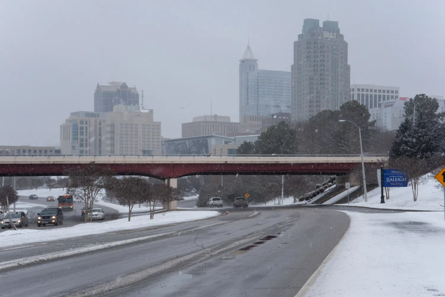
If you’ve been watching the news, you’ve been watching on social media, the only thing that has been popping up on your feeds is this winter storm that is coming through this weekend. A lot of models have changed various array of topics and precipitation types and totals, but we’ve got state assistant climatologist Corey Davis here. Corey, let’s talk about all these different patterns and models that we have seen over the last week leading up to this weekend.
“Now you said it, Kyle. This has been the big weather story over the past week, even nationally, and that’s because it’s been a while since we’ve seen a winter storm this strong in our part of the country. So that’s the first real message about this event. This is an amped-up version of what our typical winter storm setup looks like. We always need cold air in place from the north, and in this case, we’ve got an arctic air mass that will start building in later today that will, at least at the ground level, keep some very cold temperatures in place throughout the weekend into the first part of next week.
The other ingredient is that moisture. We usually rely on an offshore storm system to bring that moisture in to follow us frozen precipitation, and in this case, there’s a feed of moisture from this storm that extends all the way back to the Pacific, so there will be ample moisture available. If it was all snow, that would be great news because this would be the snow event of a lifetime. But unfortunately, we are not looking at snow and instead more of an ice event, and that’s why this is looking like such a potentially dangerous winter storm.
You talked about those changing forecasts, and you’re right. If anyone’s been following along, especially on social media, you might have noticed those changes over the course of the week. Back on Monday and Tuesday, some of the forecast models were showing a significant snow, potentially more than a foot of snow, across North Carolina. That obviously has shifted over time. But this is a good example of how these forecasts come together for a storm like this one.
There are three major global forecast models that we tend to follow. One is the American model, the Global Forecast System. It was the one that was showing those really high snow totals. So, chances are, if you saw one of those maps that had 20 inches of snow in parts of the state, that was from the American model. The European model was more of the gold standard, especially at that time frame, say five to six days out, and it was the first one that started showing that shift more to an ice event, especially by Tuesday night and Wednesday morning.
The other one that we tend to look at is the Canadian model, and early in the week, it looked like it was just out in left field. It was showing more of the cold air and more of the moisture staying farther north. And over time, we’ve seen those other models really come into better alignment with that. They’ve all showed that low forming farther inland. That means more midlevel warmth that will cut into those snow totals and cause that precipitation-type transition.
So that’s really how we’ve landed on what looks like the most likely solution now, probably starting as snow but then switching over to sleet or freezing rain and maybe just ending as regular rain as more warm air moves in through the atmosphere.”
All right, well, let’s talk about the impact that this storm is going to have on the Carolinas and, of course, the timing of it, you know, middle of January, getting toward the end of January. Talk a little bit more about that.
“Yeah, I know a lot of folks are excited to see some snow, and we really haven’t seen a widespread snow event so far this winter. It looks like right along the Virginia border, maybe some of our northwestern counties in North Carolina will see a little bit of snow to start. That will mainly be on Saturday evening into Saturday night. But those snow totals are looking pretty minimal at this point, maybe a dusting to a couple inches.
After that, once that warm air starts moving into the midlevel’s of the atmosphere, that will cause that precipitation to change over to sleet and eventually to freezing rain. And that’s one of the lingering uncertainties that we may not really know until it actually happens during the event, is when that transition from sleet to freezing rain will occur. We would certainly rather see more sleet than freezing rain because that ice accumulation can be a huge damaging impact, both for downed trees and for power outages.
The last big remaining question to be answered is how long this system will stick around, how long that moisture will last. Early in the week, some of the forecasts were showing maybe a two- to three-day storm event. That’s tightened up a little bit. Now it looks like it’ll mostly be from Saturday night through Sunday night, but some of the forecasts are still showing some moisture lingering into Monday morning. Most likely, that will be rain, especially farther south and east, and especially across South Carolina. They’re looking at maybe some freezing rain to start but then that transition over to plain old rain.
So, no matter where you are, you’ll probably see a variety of those precip types in this event. Again, just keeping fingers crossed that we don’t see that significant icing.”
Absolutely. And we were talking a little bit off air about the last time that we had a major ice event — that was 2002, I believe, was the last time — and we both have some interesting memories about that. But talk about that and also tell us, in terms of the drought, how is this going to affect the Drought Monitor map in the short term or maybe the long term?
“Yeah, for the Triangle area, we do have to go back to December of 2002. That was really the ice storm for the ages in North Carolina, and that was an event that saw more than three-quarters of an inch of ice accumulation from Charlotte all the way up through Raleigh and Durham, just a substantial hit. Widespread power outages from that event. That’s one that folks like us who were around here then have not forgotten what that event was like.
In places like the Triad, they’ve also had some icing more recently. In 2021, they had back-to-back ice storms. The Charlotte area also had a couple back in 2016. One other thing worth noting is that if this does end up being a big sleet event with multiple inches of sleet accumulation, it’s been even longer since we had a sleet storm like that. I know in the Raleigh area, I remember one back in 2011 that had several inches of sleet that seemed to fall all night long. Back in 1987, there was a storm that dropped almost eight inches of sleet in the Raleigh area.
And we don’t think we’re going to get close to that with this event, but how some of the forecasts have looked over the last few days, some significant sleet accumulations are definitely possible. And then you mentioned, again, what could be the silver lining behind this event. We don’t want to see that ice. We don’t want to see those big impacts. But this could be a positive sign for our drought situation.
We’re still looking at more than half of North and South Carolina in the severe drought category. Really no relief over the last week or two. But finally, this should be a widespread, pretty heavy precipitation event. We’re talking about totals of more than an inch across the Carolinas. Parts of North Carolina could see an inch and a half to two inches. That should make a nice dent in the drought, at least once some of that frozen stuff begins to melt. It can start trickling down into our rivers, through the soils, down the streams as well.
So even if we don’t see those impacts reflected on next week’s drought map, I would expect as we head into February, we should see some positive changes after a storm like this one.”
I know it’s going to be kind of difficult to gauge because everyone’s so hyper-focused on this weekend and the potential for snow, ice, rain, freezing rain, but let’s take a look at the forecast and try to look at, on the other side of this event, what the weather is going to look like.
“Yeah, we talked about one of the factors that makes this event so unique, and that’s that strong arctic cold air mass that will be pushing through later today. And that cold air is going to stick around through the weekend into the first part of next week, it looks like, especially from Raleigh and then to the north and west. We will struggle to make it above freezing on Sunday, on Monday, on Tuesday, maybe finally getting back into the upper 30s by Wednesday.
The other big concern is those nighttime low temperatures because they will be absolutely frigid. It looks like we can see widespread teens and sing
le digits on Monday night and Tuesday morning. And certainly, for folks who do lose power from this storm, that could be a big, big danger if they don’t have that heat running during those cold nights. That’s when we start to think about health impacts, like hypothermia setting in.
So again, we’ll hope for less impact, hope not as many folks lose power. But this does look like a significant winter storm. And just to keep something on folks’ radars, some of the forecasters are showing maybe another winter storm by next weekend. So, we’re not out of the woods just yet for winter and for winter precipitation. These next couple of weeks will be a real roller coaster ride.”