
So, after last week’s rain event, we have been seeing nothing but 90-degree temperatures and no rain in sight here in the Carolinas, and we’re trying to figure out if that has made any negative or positive impacts on the drought map. But we’ve got State Assistant Climatologist Corey Davis here. Corey, have there been any updates, whether negatively or positively, on the drought map over the last week?
“You know, Kyle, we got off to such a promising start to the month of May. We had some cooler weather, and also we had a few rain events in most areas. Those were not significant rains, but we were seeing half an inch to an inch, and that at least kept us from seeing further degradation for the first couple weeks of the month. We did also have some improvements down in the Charlotte area. They picked up more than two inches a couple weeks ago, so we were able to finally get rid of that exceptional drought that had been in place across the southern Piedmont.
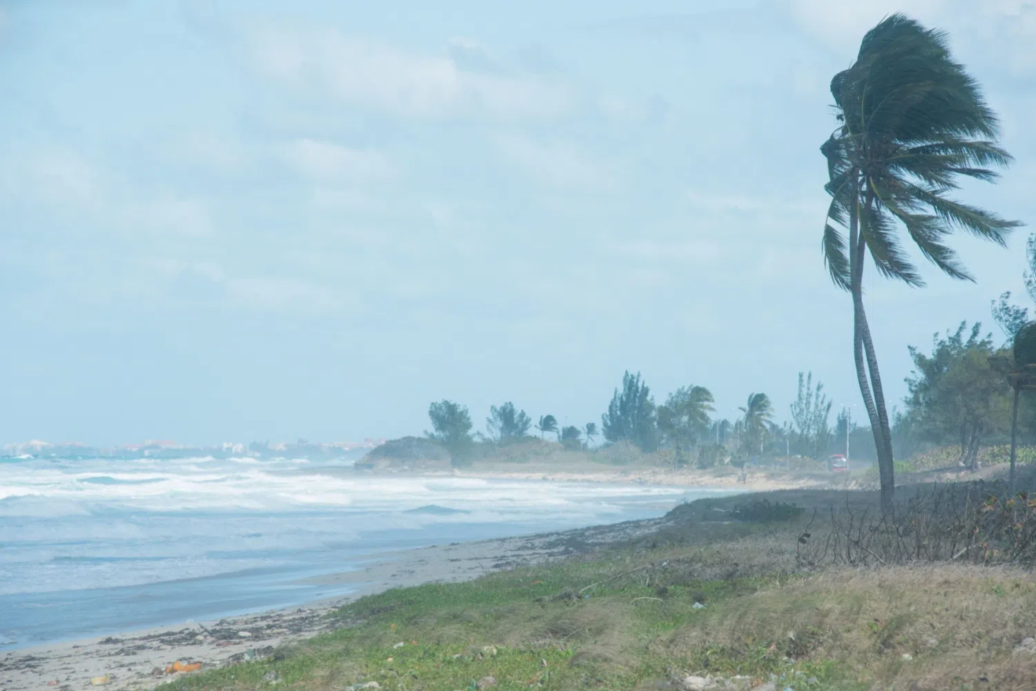
“Unfortunately, as you said, our weather took a step in the wrong direction this past week. We didn’t see really any rainfall to speak of, plus we had hot temperatures, 90-degree days to start this week. So that meant we have seen more drought stress and more drought development in eastern North Carolina. We’re now seeing more extreme drought that is extending into the Fayetteville area, also down into Johnston County, just south of Raleigh. And then in the western part of the state, we are seeing more exceptional drought back on the map this week. This is mainly in that far northwestern corner of the state.
“In that area, places like North Wilkesboro and Hickory are off to their record driest start to a year. They are more than 10 inches below their normal rainfall so far in 2026, and when we see that sort of record dryness, that is a telltale sign of exceptional drought. We also heard this week some updates from Agriculture and Extension. They are still dealing with this drought, even though they did see a little bit of rain earlier this month.
“Starting in the western part of the state, those areas have stopped planting in a lot of cases. They are seeing, especially the hay fields, are still really impacted, very poor grazing conditions for the cattle. Usually, when we get into severe and extreme springtime droughts like this, you’ll hear cattle producers talk about having to sell parts of the herd because they may not have enough hay to last through the rest of the season.
“And then a little bit further east, in parts of central and eastern North Carolina, we’re also hearing that some farmers in places like Caswell and Montgomery counties have stopped planting for now. Some of the tobacco growers are using irrigation, which is very rare. That’s not something that a lot of tobacco farmers have access to, but just trying to keep that tobacco green and in the fields and growing while we’re going through this dry stretch.”
Well, it’s almost June, and right now it seems like the only hurricane season we really want to be talking about is over at the Lenovo Center and the Carolina Hurricanes, but unfortunately, we have to talk about the other hurricane season. June 1 is when hurricane season starts.
We were talking earlier. You said NOAA has just put out its outlook. So give us the hurricane season outlook and what we can potentially expect to see this season.
“Yeah, this is an interesting outlook. There are some years, like last year, where we may look at five or six different factors that we all expect may play some role in the activity. Last year we were looking at things like the African monsoon pattern because we thought that might supply a little extra moisture to systems that were moving off the coast of Africa and over across the Atlantic.
“This is not one of those years. This is a very simple outlook. This year we are focused on two main factors that we think will be the driving forces in the Atlantic this summer and fall. One of those is the Atlantic sea-surface temperatures. Right now, they are warmer than normal going into the season, just like we saw last year. And if you remember back to early last summer, we saw a decent amount of early activity in June and early July. We had three named storms, including Tropical Storm Chantal, that moved in across the Carolinas. So we think with that warm water in place, we could see a fast start to this season.
“The other big factor we’re watching is this developing El Niño. We’ve talked a little bit about this over the last few weeks and months about what that could mean for us later in the year, but in terms of the tropics, that means when you have a strong El Niño developing, usually that shuts down the Atlantic activity. That creates more upper-level wind shear, and that tends to tear apart developing storms. So, it seems like it’s just a matter of time this summer before that El Niño kicks in and we see that activity really drop off.
“The last time we had a strong El Niño in place was back in 2015, and then after the middle of September, the peak of the season that year, there were only two named storms the rest of the season. So, we likewise think this year could see more early activity, but really once that El Niño kicks in, very little Atlantic storm formation this year.”
So, what is the projected number? Last year was more like 12 to 15. What’s it looking like for this season?
“That’s right. Yeah, last year was predicted to be probably a near- to slightly above-normal season. Just for reference, the historical average over the last 30 years is about 14 named storms and seven hurricanes each year. So, with the National Hurricane Center’s outlook that just came out yesterday, they are calling for eight to 14 named storms and three to six hurricanes. Both of those would be below normal for the season.
“And then they’re saying there’s a 55% chance of below-normal activity, with a 35% chance of it being near normal. Again, they note in their outlook that there is still some uncertainty about how strong this El Niño will get and exactly when its impacts could kick in. So, if we do see that warm water really have an outsized role early in the season, you could see more storms developing early on, and that could have big impacts on the Carolinas.
“If you look at June, July and August, those early-season months, one of the most common places for storms to form is right off our coastline. So, I think for folks that are still dealing with this drought, especially the farmers, it would be the worst thing to see one of those very weak storms form off our coast and bring some decent rainfall within the next couple months because I don’t think we can really rely on the tropics to bring the rain we expect later on in the season.”
Well, let’s take a look at the forecast for this weekend and early next week. It looks like we have the potential for some consistent rain over the next few days.
“That’s right. I’m sure some folks won’t be happy about that. They’ll want to be outdoors more on the first real holiday weekend of the summer, but I don’t think anybody can really deny that we need this rain badly, especially with how hot and dry it’s been over the last week.
“We’re already starting to see an impact on our temperatures over the last couple days. We’ve been in the 90s. This afternoon, especially areas around and west of Raleigh, will only be in the 70s. And then through the weekend, we’re looking at mostly right around 80-degree temperatures, pretty close to normal for this time of year. And yeah, you’re right. The other big forecast component is the rain that we’ll see.
“We started seeing some of those showers last night, especially in parts of western North and South Carolina. Expect to see more of those this afternoon. Again, it could be areas farther west that see the most, but then as the weekend goes on, and even through Memorial Day on Monday, we should see more widespread showers and storms spreading east.
“So, over the next four to five days, we could see totals of at least an inch. Some of the wettest spots could see four to five inches of rain. That would be the biggest rain event that we’ve seen all spring so far. And again, the best news is it looks like this should be a fairly widespread soaking event, so that’ll be a benefit for everybody that’s been dealing with this drought.”