
So, we talked about last week — we were getting rain over the weekend, and also some rain has popped up around the Carolinas. Just yesterday, we got state assistant climatologist Corey Davis here. Corey talked to us about those rain totals that we got last week and some more that we got yesterday as well.
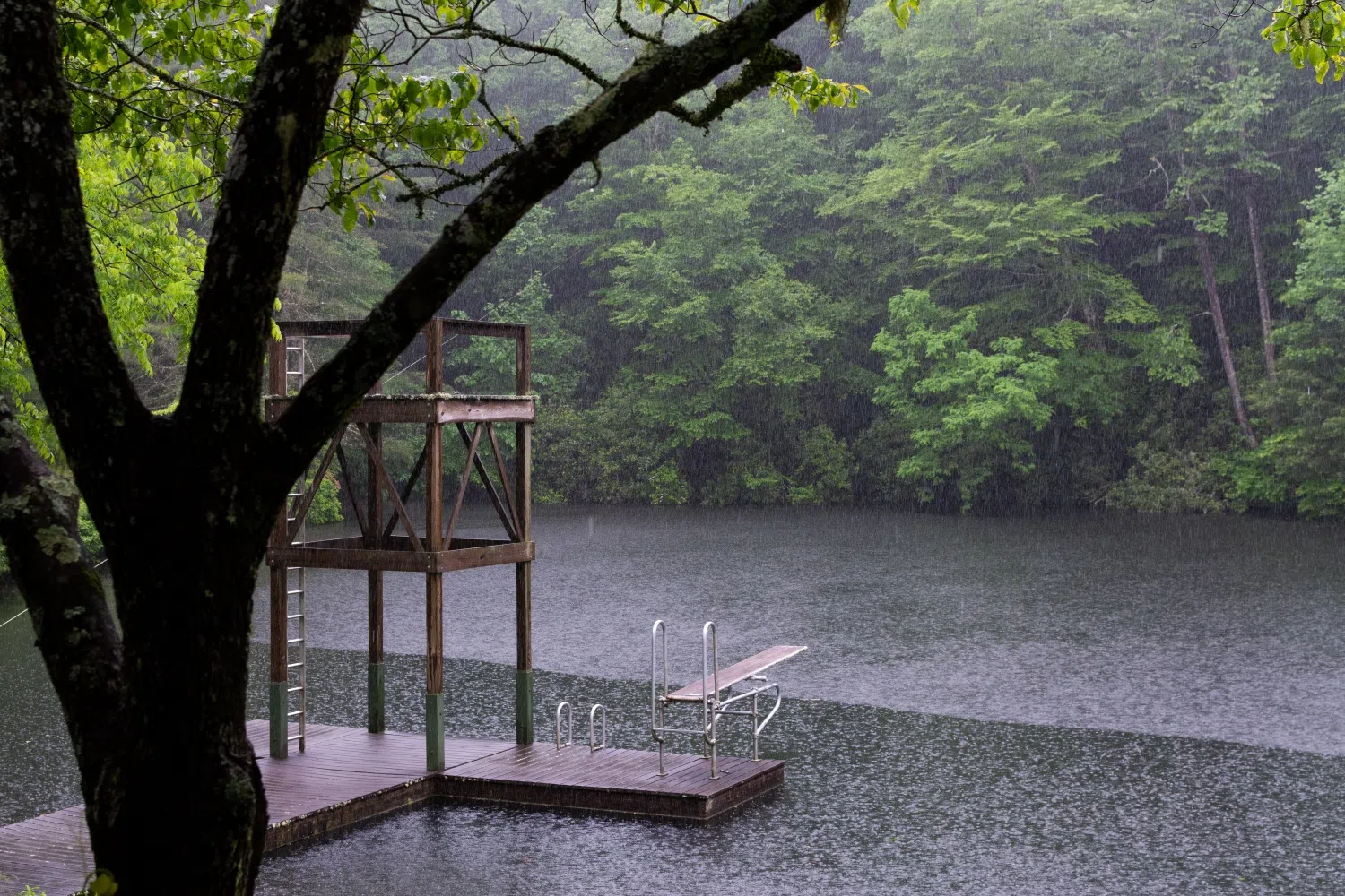
“Yeah, Kyle, I’m sure our listeners have noticed a trend in our precipitation, especially over this past month. It’s been mostly falling on the weekend, and those totals have mostly been in the half-inch to an inch range. Thinking back to this past weekend, that was the story again. We had rain that moved across the Carolinas during the day on Sunday, some areas further west a little bit better. We had some one- to two-inch totals out around the Asheville area and in parts of the southern mountains. In the central part of North Carolina, most areas were right in that half-inch to an inch range, which is pretty much average for a week at this time of the year. And then as we got further south and east toward the coastline in North Carolina and across most of South Carolina, we didn’t see as much rain — less than half an inch across most of those areas. So again, we’re glad to get a little bit of rain, but it’s not quite as much as we really need to start making a dent in our drought.
“But one bit of good news, like you said, since this week’s drought map came out on Tuesday, we have had another round of rain that hasn’t been on a weekend. This event actually overperformed our expectations. By lunchtime yesterday, we were already seeing totals upwards of an inch across parts of central North Carolina, and then as that rain event tapers off this morning, we expect to see some pretty widespread totals of an inch or more across central and eastern North Carolina. So that is, again, some good news. We were expecting maybe half an inch from that event, so we’ve at least seen a little bit beyond our expectations so far this week.”
Now, Corey, you talked about the drought map in regard to last weekend’s rain, and I know we won’t get the next totals until next weekend. But how will yesterday’s rain impact those totals? Is there any way we can project and see how the drought map is going to look after this latest rain event yesterday?
“Well, first, if we look back at what happened on the drought map last week, really not a lot of changes. In fact, we actually had a little bit of degradation right along the coastline in North Carolina. Again, these are areas that missed out on most of that rain last weekend. As a result, all of North Carolina — 100% of the state — is now in some category of drought. The last time that happened was in February 2008, so it’s been 18 years since we had a truly statewide drought event like this one.
“Unfortunately, we did not really see any improvements this past week, but at least we do have some positive impacts that are starting to show up with these more regular rain events that we’ve been seeing every week. We’ve started to stabilize some of those surface water conditions. Topsoil moisture is generally in better shape right now, even if some of the deeper soils are still a little bit dry. We’ve also started to see the streamflow levels come up. This week, there was a nice improvement on the northern Yadkin River Basin, and we’ve also seen some of the lake levels improving. Jordan Lake, which is a big water supply for parts of the Triangle, had been two to three feet below its target level before these recent rain events, and it’s now within about half a foot of its target. So again, those are at least promising signs. And if that keeps up, and once we consider the rain that’s fallen over these last couple of days, I do think we could at least trim some of the drought conditions, especially some of those extreme drought conditions that have developed over the past month.”
As we’re getting closer to the planting season, some ag reports are starting to come out. You got any good news for any farmers out there based on these reports?
“Well, one thing we can say from the North Carolina reports is that the little bit of rain we have has not kept farmers out of the fields. They have at least been able to survey conditions and see how things look. And there’s a bit of good and bad here. We talked all winter about how the pastures and some of those winter crops have really been struggling. We heard more of that this week out across the western Piedmont in places like Burke County and Iredell County. It sounds like the pastures there are still showing some signs of stress, and even after that rain we’ve had over the last couple of weeks, some of the topsoil’s are still a little bit dry out there.
“A little bit closer to home in the Triangle area, we’ve heard that at least in Wake County, there’s enough soil moisture to get those small grains started. That has been another challenge, really, dating back to the fall during this ongoing drought. But for the most part, I think we’re still looking at some level of dryness, especially deeper in the soils. And again, we’ll hope for more regular rainfall as we move into the spring so that once the growing season starts, farmers can get their crops planted on time.”
We’re actually a day away from the end of February. Where has the time gone? Wasn’t it just last week that we were doing a prediction for all of 2026, and now we’re two months into it? Let’s take a look back at the month of February and how the weather has been — temperatures and precipitation as well.
“You’re telling me, Kyle. I know it’s the shortest month of the year, but this February has really flown by. We expected coming into this winter that February would probably be a warmer month, and it has been warmer than what we saw in January. But overall, our average temperatures for the month are pretty much near normal, or a degree or two cooler than normal. That really reflects the weather that we’ve seen.
“Even over the past week, we’ve had some cooler days where those highs struggle to make it out of the 30s. We’ve also had some warmer days where it made it well up into the 60s, even into the 70s and low 80s in some spots last weekend. So really a mix of temperatures, a lot of variability there. But again, most areas look like they’ll finish near or slightly below normal for this month of the year.
“And then in terms of precipitation, not a surprise — most of the Carolinas are going to finish a little bit drier than normal for the month. Prior to this latest rain event that we had yesterday, we were looking at deficits of anywhere between about a half-inch in the Triad and the Triangle, all the way to two inches below normal for parts of the coastline in North Carolina. So, I think even with this latest rain event factored in, it will still come out to be a drier-than-normal month, which, again, was not a surprise at all. We expected this winter would likely be a dry one.”
Well, let’s take a look at the forecast for this weekend. Do we have more rain in the future, or is it more of a calm weekend as we head into March?
“Yeah, this is finally going to buck that trend that we’ve been in, really since the mid- to late part of January. There is no rain in the forecast this weekend. There are still some showers out there this morning, mainly moving across eastern parts of North and South Carolina. That rain will finally move offshore by midday today, and then it will start to clear out.
“We’ll have partly cloudy skies tomorrow, highs in the mid-60s, and then by Sunday — the first day of March — we’ll be back up into the 70s again. So very sunny, very spring like, especially for the first day of March. And then it looks like early next week there’s another chance of unsettled weather building. Still a lot of uncertainty right now about what that might look like. Some of the models have shown some rain moving to our north. Some have shown a little bit of rain moving across the Carolinas. Tough to tell exactly how that may play out, but again, at least maybe one chance of rain through the first part of next week.”