
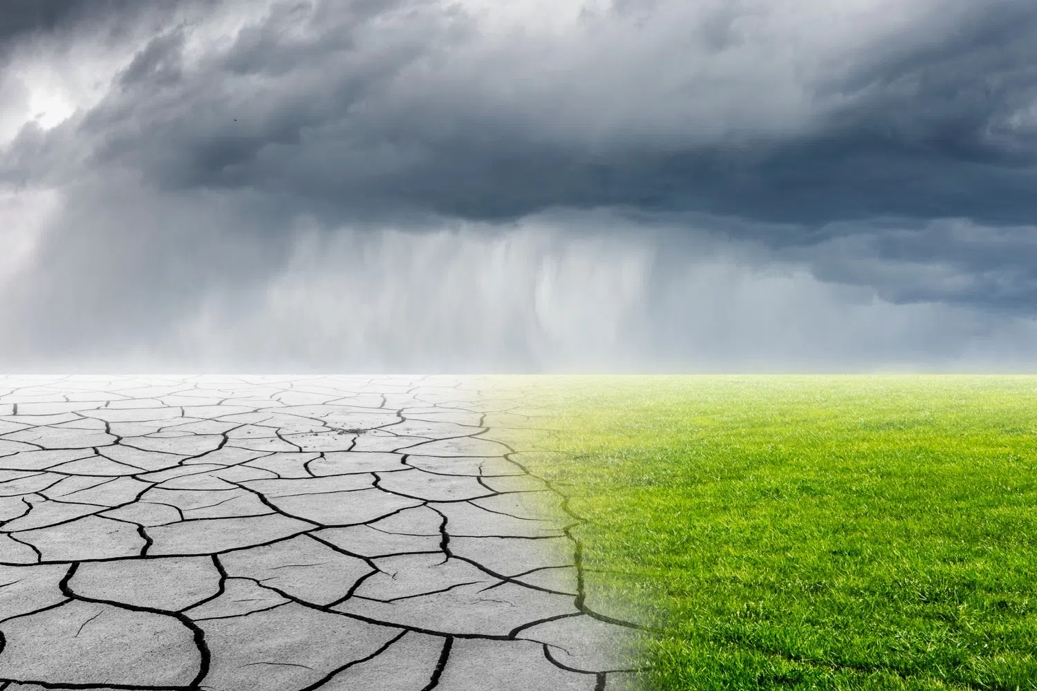
Well, if you woke up on Thursday morning and noticed that the ground was wet, the patio was wet and rain had come overnight, does this mean the drought is over? No — it’s temporary, at best.
We’ve got state Assistant Climatologist Corey Davis here. Corey, I know people have been saying that once we get rain, the drought is going to be over. Can you rein in that optimism and let everyone know about the rain we did get in some areas — and whether it’s going to impact the Drought Monitor map a little or more than we expect?
“Well, Kyle, we can start with the good news, and that’s that we have finally seen rain again. It seems like it had been almost two months since some areas had seen a decent rainfall, and we’ve had multiple events over this past week. Last Saturday, we had a system that moved through. Some areas along the coast picked up half an inch to an inch. There were a few spots, like down in Morehead City, that had even more than that, so that was a nice change for those areas.
“Also, earlier this week, we had some showers out in the mountains. Some of those areas picked up more than an inch as well. But we’ve got part of the state that has consistently missed out, and that’s across the Piedmont of North Carolina and parts of central South Carolina as well. Down in Columbia, they’ve only had about half an inch this week. Same story in Raleigh. Charlotte has had even less than that — only about a quarter-inch so far. So, these are the areas that unfortunately had been drying out the fastest. And because we haven’t seen those big rainfall totals over the last week, we saw more degradation on the drought map.
“We’ve now seen more extreme drought emerging across the Piedmont in North Carolina and even the first spots of exceptional drought now showing up. We talked last week about how places like Monroe, down in Union County, had consistently been the driest over the last four to six months, and that is the first area where we’ve got exceptional drought in North Carolina. And then in South Carolina, further down the coast around Hilton Head, they’re also seeing that exceptional drought that’s been creeping north out of Georgia. We didn’t want to get to this point, but we figured it was inevitable. With as dry as April has been, we are now seeing those exceptional drought conditions on the map in some places for the first time since 2008.”
Absolutely. What areas are we seeing this exceptional drought start to creep into? And is there a chance we’ll see more of it by next week?
“We’re looking mainly at the southern Piedmont in North Carolina — again, around Union County. They’ve had water restrictions go into effect. I know the city of Monroe is looking closely at its water supply. For instance, they’ve got a quarry that the city owns that they may be able to tap into for water storage. So, these are the sorts of things you expect when we get into these exceptional conditions.
“And again, places like Monroe are running their driest on record over the past four to six months, so that lines up very well with the historic nature of exceptional drought conditions. In South Carolina, we have seen a general expansion of extreme and exceptional drought, especially right along the coastline. These places also didn’t see as much rain over the last week — less than half an inch in most spots.
“I will say Charleston saw a nice improvement over where it had been so far in April. We mentioned a week ago they were sitting at 1/100 of an inch all month. They’ve had about four-tenths of an inch of rain this week — better than we have been, but still a drier-than-normal week and certainly set to finish as a drier-than-normal month.”
So, we were talking before we started recording about a blog post comparing what we’re experiencing now to 100 years ago. Tell us more about that and what similarities we’re seeing to 1925.
“Yeah, Kyle, this is an event I was vaguely aware of but didn’t know a lot of details about. In the 1920s, we did see a pretty severe drought across North and South Carolina. Looking into that, we found a lot of parallels — both with the current drought and the big drought back in 2007 that a lot of folks remember.
“For one, the timing of that drought’s emergence was very similar. Like in 2007, it was mostly a warm-season drought. We started drying out that spring and summer, and the first areas feeling the effects were in the western Carolinas. Over the summer, we had hot, dry conditions, and the drought spread east, especially across the Piedmont. Both of these were long-lasting droughts. In 2007, that drought carried over into the spring of 2008, and some areas didn’t fully improve until 2009.
“The 1925 drought also carried over through the winter into 1926. Even though the next summer wasn’t quite as hot or dry, we were still dealing with those impacts. A lot of those were the same things we’re worried about now — water supplies and making sure everyone has the water they need, including for drinking, power generation and agriculture.
“As you can imagine, most folks grew what they ate, so crops like corn and vegetables were severely affected back in 1925 and 1926. Ultimately, that was just one of several pressures farmers faced coming out of World War I. European demand for cotton and tobacco dropped as farms overseas recovered, and the boll weevil pest devastated crops. Adding drought on top of that in the mid-1920s was too much for many farms to bear. We know this year is not off to a great start for farmers, but we’re hopeful things will turn around faster now than they did back then.”
You talked about a headline from a newspaper that said, after a night of rain, “drought over” — reactions to a single night of rain that are kind of similar now to what they were back then. I think it’s just jumping ahead and assuming that one night of rain is going to take this drought away.
“Yeah, this is one of those ‘the more things change, the more they stay the same’ situations. You’re right — we saw headlines from places like Boone and Charlotte and even statewide papers saying the drought was broken after a day or two of rain. I think we’ve heard some of that this week as well.
“A lot of that is just folks not realizing how entrenched this drought is. It’s been around for more than six months in parts of the state, so it will take more than just one day, one week or even one wet month to fully get rid of it. We do hope we’ll start to see better rainfall, and the pattern this week is changing with more frequent events. Maybe that will eventually help bring some improvements to the map.”
So, let’s talk about the forecast. Do we have any chances of rain this weekend and going into next week?
“We do, and the first thing we’ll notice is that even though we’re turning the calendar to May, temperatures will feel more like March. We’ll be around 70 degrees this afternoon, then only in the upper 50s tomorrow — very cool for this time of year — and then down into the low 40s Saturday night, maybe even upper 30s in some areas.
“That cool stretch is tied to a big rain event this week. A cold front coming in from the west on Saturday should bring some decent rainfall, especially as low pressure develops along the coast. The thing to watch is a big gradient in rainfall totals. Areas along the coastline could see 1 to 2 inches on Saturday, while totals drop off farther inland and to the northwest.
“We’re hoping some of the higher-end forecasts pan out over the Piedmont — maybe up to an inch — but there are some drier forecasts as well. After that, it looks mostly sunny through early next week. We’ll warm back up into the 70s on Monday, then possibly the 80s by midweek. Then we’ll watch another system later next week that could bring another cooldown and another decent chance of rain. So overall, one good rain chance on Saturday, but cooler temperatures until that rain arrives.”