
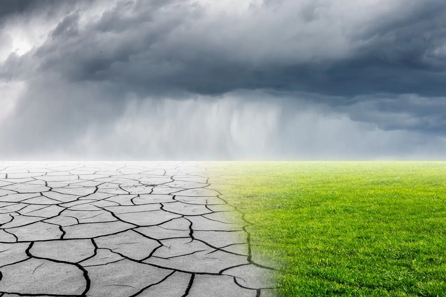
Well, the rain has left for the moment, and now we’re really starting to see what impacts that has had on the farms and the drought maps here in the Carolinas. And who better to let us know what’s going on with all of the rain impacts is State Assistant Climatologist Corey Davis. Corey, let’s talk about the rain impacts that we have felt over the last week. And it looks like some areas got too much, and some areas are wanting a little more.
“Yeah, I’d say your perspective depends on which side of the state in North Carolina that you were on last week, especially for the farmers out there in the western part of the state. We saw some fairly heavy rain, especially back toward the middle of last week. Places like North Wilkesboro finished the week with more than four inches in total. Also, parts of the southern mountains. Some of those areas that had been in severe and extreme drought saw some much-needed rain over the past week, so they have seen some improvements on this week’s drought map. And when we look at the ag reports, we’re hearing from places like Yancey County that their crops are in really good shape right now. We have seen a big improvement in the condition of apples, for instance, and they’re actually saying that it’s been too wet for them to get out in the fields and start working on their harvest and that second cutting of hay for the year.
“On the other hand, out across eastern North Carolina, the rain was spotty at best. They missed out on those heavier amounts. Most areas saw half an inch or less, and at the same time, they were baking under those almost 100-degree temperatures for much of the last week. So, we haven’t seen a huge change in that part of the state, but we have seen some areas of degradation on this week’s drought map out across parts of Lenoir and Greene counties in the Kinston area. The Neuse River levels have dropped. We are seeing more severe drought on the map there this week and then, especially, up further north in parts of Halifax and Warren counties right along the Virginia border. They have slid back into extreme drought, and that is also affecting the farmers up there. In Warren County this week, Extension told us that that severe drought is limiting the crop growth. The soil moisture levels have dropped off again, so even after that rain we had back in July, it only takes a few hot, dry days to really sap that moisture, and that’s what they’re feeling now in parts of eastern North Carolina.”
Well, as the great Glenn Fry once said, “The heat is on,” and the heat is returning with a vengeance. Talk to us a little bit about these high temperatures, and is it affecting the entire state, or are some areas still trying to get about 80 to 85 degrees?
“Yeah, you know, this is the time of the year when we like to think that we’re through with the worst of the heat. Of course, July is usually our hottest month, but August is still part of the summer, and it can still get very hot, as we’ve seen over the last week, especially when we look back to last Friday and then going into the weekend. We did see parts of eastern North Carolina, like down in Duplin County and also in parts of the Sandhills, they made it to the 100-degree mark on multiple days. But like you said, there have been some variations. Out across the western part of the state, when they were getting those rain showers, they were a bit cooler. Some areas only made it up into the mid-70s last week, and then other areas spent most of their weekend in the 80s. So, there have been those differences, again, partially because of where they’ve seen the clouds and the rain. But certainly, this is a reminder that summer is not over yet. We can still see those hot temperatures just like we have over the last couple days.”
So how has that rain, and also the return of 90-to-100-degree temperatures, affected the ag reports?
“Yeah, we were seeing across the state this week that the rains that we’ve had, especially over the last two to four weeks, have made some positive differences. Places like Craven County in eastern North Carolina call those small rains that have at least been frequent enough to sustain most of the crops right now. Again, coming off a week like this, they probably didn’t get as much rain as they would have wanted, but we’re not seeing any real degradations there. We talked about some of the spots that are in a little bit worse shape right now. Places like Warren County, also down in Greene and Lenoir counties. Again, just haven’t seen enough rain and have seen too many of those hot days for the soils especially.
“And then across the rest of North Carolina, we’re seeing crop conditions pretty much holding steady. We talked about the apples doing pretty well in the western part of the state. Corn mostly continues to struggle, and again, that was because of the lack of rain earlier in the growing season. We are also hearing this week that some of the soybeans are in a little bit worse shape. They’re a little bit more stressed after that hot and dry weather, but overall, soybeans still are looking better now than they did early in the summer.”
Well, I know last week we talked about a couple of disturbances out in the Atlantic Ocean coming off the coast of Africa, possibly looking to form into the fourth or fifth named storm of the season. From my understanding, that did not happen. Tell us a little bit more about it.
“Yeah, you know, we looked at those systems last week, and the National Hurricane Center was fairly confident that at least one of those would eventually form into a named storm. What happened was, as those systems got closer to the Caribbean, where we’ve seen that strong wind shear, especially at the upper levels of the atmosphere, those storms were just ripped apart, so we do not have either of those storms to talk about this week. They have both fizzled out. This is another great sign of the impact that that El Nino is having on the tropics this year. Just not seeing as many storms, even as the forecast were expecting, and just to put some perspective on that, on average, the fifth named storm of the year usually forms by this time in the third week of August. We’re only at three named storms so far. On average, the first hurricane of the season forms by Aug. 11. We have yet to see a hurricane in the Atlantic this year, so I do still expect we’ll probably see some more activity as we get closer to the peak of the season next month, but it is very likely still to be a below-normal hurricane season overall.”
So, let’s take a look at the forecast. Do we still see 90 and 100 degrees this weekend going into next week, or is there some relief on the way?
“There are some 90s, but fortunately no 100s over the next week. We are watching a cold front move in from the West today. That will knock back our temperatures. A few degrees will still make it up into the low to mid-90s this afternoon, especially across eastern North and South Carolina, and then we’ll see the rain move in later this afternoon. We should have some pretty good rain chances through the evening and overnight hours tonight, and then that rain should taper off in parts of the coastline by early tomorrow morning. Still think we’ll see some pop-up showers during the day on Saturday, and then behind that front it should start to clear out by Sunday. Also, it will be very seasonable. Highs in the upper 80s to right around 90 degrees. So that’s pretty typical for where we should be at this time of the year. And that means that we’ve gotten the worst of this heat, at least for this part of the month, behind us.”