
Well, as the old saying goes, rain, rain, go away, come back another day. Well, it went away. It hasn’t come back. And apparently summer is not listening to that exact advice, as it is still around here in the Carolinas, still showing up in 90-degree temperatures with heat indexes around the one hundreds. But when is that going to end? Well, we got State Assistant Climatologist Corey Davis here. We’re going to try to break this down a little bit. Corey, let’s talk about it. Summer. It’s not going away. It’s almost it’s the middle of September. Tell us a little bit about that and how that’s affecting the drought maps.
“Yeah, you said it, Kyle. That’s the problem we’re dealing with now in the middle of September. We’re missing out on the rain and we’re still dealing with that summer-like heat. You go back a week ago last Friday; it hit 98 degrees in Raleigh. Definitely not a September temperature. Over the weekend, we still had those nighttime lows in the mid-70s. That’s what we expect on our warmest summer nights. And then, even since then, we’ve kept those highs in the low 90s and upper 80s this week, so the heat is not giving us much relief so far. And then just missing out on that rain has been a big problem as well, and that has led to the slow return of drought on the map, especially in central and eastern North Carolina.
This week, we’re now seeing places including Wake County, areas a little bit further east, like near Wilson, back in the severe drought level. They had been mostly at that moderate drought level since that rain back in July, but again, just dealing with the heat, dealing with the lack of rain in recent weeks, is giving drought kind of a second wind here now that we’re getting into the fall. And we’re certainly noticing the impacts, especially on the ag report that have come in from county extension agents this week.
In Wake County, they talked about how the rain has been spotty. Most areas saw less than a quarter inch in total last week, and those soybeans that really benefited from that rain back in July and early August are now starting to struggle again. In some areas, those soybeans are getting dry. They’re getting thin. The pods have not filled. Other parts of eastern North Carolina, where that rain has been pretty hit or miss, are reporting similar impacts.
Down in Sampson County, they say this dry weather has been great for the farmers to get out and try to harvest the corn crop, at least the corn that survived through that hot, dry start to summer. But this also means they’re seeing stress for other crops like soybeans.
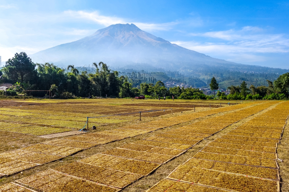
One other crop to keep an eye on is the tobacco. We talked earlier in summer about how a lot of farmers are having to use irrigation for their tobacco. That’s pretty unusual. We don’t usually see that unless we are in a very dry time like this year has been. And now that tobacco is falling behind on the amount that’s been harvested so far. It’s not critically far behind, but what that tells me is that a lot of those tobacco growers are waiting for a little bit more rain to get that tobacco across the finish line before they’re ready to pull it out of the fields.”
Well, to paraphrase a Green Day song, wake me up when the summer ends. Like we were talking about, we’re about halfway through the month of September here. Let’s take a look at where we stand for the month. Like I said, we’ve not seen a lot of rain, so let’s take a look at some of those rain totals and some of the temperatures around the Carolina.
“Yeah, probably not surprising, but as we’ve crossed the midway point of September, it is tracking as one of the warmest Septembers on record for most of North and South Carolina. We’re talking about top five warmest in places like Columbia, South Carolina, Elizabeth City, and then the warmest September through this point in the month in places like Wilmington and Raleigh and out in Hickory.
Just for some perspective on that number one ranking in Raleigh, it’s been more than a century since we started September anywhere close to this warm. We have to go back to the early 1920s to find another September that had this level of heat through this point in the month. So, we’ll see what the second half of the month brings if it decides to back off that heat at all. But again, certainly on track for one of our warmer Septembers, and it has been a dry one in most places so far as well.
Most of the Carolinas have seen less than half of their normal rainfall so far in September. That means places like Raleigh or about an inch and a half below normal, places like Wilmington and Lumberton, more than two inches below normal. And as we go down the coast in South Carolina, same story. Myrtle Beach is about two and a half inches below normal so far this month. So again, we know that combination has been impactful that has led to that increasing drought severity across the state. We’re just trying to watch the weather and hope for a pattern change sometime soon.”
All right, let’s take a trip down to Kokomo and the tropics. We’ve not really seen a lot of named storms. We still have not had that first named hurricane in the season. We have been seen reports of a disturbance out in the Atlantic Ocean. Tell us a little bit more about that and what’s the chances that that could develop into anything serious.
“Yeah, over the past week, we crossed the typical peak of hurricane season in mid-September, and there was no activity in the Atlantic at that point. We’ve talked all summer about how that El Niño has created high levels of wind shear down in the Caribbean. That’s made it really tough for storms to develop in that region, and the few storms that we have seen either further out in the Atlantic or right along the Gulf Coast have been really short lived.
And it looks like that’s the case with this disturbance that’s out across the central Atlantic now. It is just off to the east of Bermuda, so no threat to land. It doesn’t look like it’ll threaten much of anything because even if this were to develop over the next couple days, it will move into some less favorable atmospheric conditions by Sunday, and that should spell the end of this system.
So, whether or not this becomes the sixth named storm of this season, it really doesn’t change the overall message that we’ve seen all summer long. This has been a quiet tropical season. That doesn’t mean we’re out of the woods just yet. There’s always a chance you could see another storm or two form in the next month, but also looking historically in those strong El Niño years like 1997 and 2015. This is right around the point in the year where that tropical activity nearly came to a stop. And again, we know that activity has already been very low this year.”
All right, let’s take a look at the forecast for this weekend. Do we have any rain in the forecast? Is the temperatures going to feel more fall-like and are a lot of people going to be out there enjoying college football and NFL in seasonable conditions?
“Well, certainly today it will still feel like summer. We’re looking at another afternoon with highs getting up into the low to mid-90s across Eastern North and South Carolina. Nighttime lows tonight will still be in the low 70s, but we’ll also see a cold front pushing through tonight. That will bring some better chances of showers, so especially folks further west that may be heading to see Wake and Miami play in Winston-Salem. They might have to dodge a few showers tonight, and then it looks like most of those showers will wrap up early in the day tomorrow.
There’s a pretty low chance of rain, though, tomorrow afternoon. We will see slightly cooler highs, probably low to mid-80s instead of low to mid-90s. Then we’ll have an brief warmup into early next week. Looks like Monday could touch 90 degrees in some areas. But what we’re watching closely is the next pattern change.
It looks like by Tuesday and especially Wednesday, we could see some cooler air start to build in from the northwest. That could also bring our next best rain chance. But just looking at the high temperatures, they look a lot more like September, right around 80 degrees, maybe upper 70s by next Wednesday. So, there’s still a lot of uncertainty there, but we’ll hope that forecast holds and at least it feels a little bit more like fall afternoons as we hit the midpoint of next week.”