
So we’re about a week removed from Hurricane Isaias’ aftermath and the remnants of that storm affecting some areas of the Carolinas. But we need to take a look at — we were talking about how it might need a week to see how that’s affecting the drought map. Well, we’ve got State Assistant Climatologist Corey Davis here. Well, it’s been a week. Do we have more information on how the remnants of Isaias have affected that drought map in the Carolinas?
“We do, Kyle, and it is good news. Like you said last week, we mentioned that even those parts of western North and South Carolina that saw the heaviest rainfall from that storm had not seen that many changes yet on the drought map, and that’s because we wanted to wait and see what that moisture did over this last week when it was fairly dry in that region.
“For the most part, that moisture has stuck around. We are still seeing the soil moisture levels, the streamflow levels, the lake levels in pretty good shape, especially across the mountains and foothills. So, as a result, we have seen some big improvement on the drought map. We’ve now got a good chunk of western North Carolina that’s back to an unclassified drought status. That means they are not abnormally dry. They are not in drought. They are effectively back close to normal.
“And again, that matches with what we’re seeing in terms of impacts. That matches with what we’re seeing with rainfall deficits. Places like Statesville and Charlotte and Salisbury are now back above their normal rainfall over the last six months.
“There are still some longer-term deficits, especially in the southern mountains, and we do see that with some groundwater and lake levels that are still a little bit low. Those areas are still dealing with some drought and abnormally dry conditions. But again, for the most part, things look a lot better across western North Carolina this week, and that ongoing lingering moisture from Isaias has been the main factor there.”
I know another topic we were discussing last week was the continued appearance of 90-degree temperatures. Let’s talk about the temperatures that we saw this past week. Did we finally see that break where we’re now focusing on fall-like temperatures instead of the random 90- to 92-degree temperature?
“And we sure did, and it was a shock to the system. You know, we were dealing with those highs in the 90s, even the nighttime lows in the mid-60s late last week. And then, by the weekend, we saw that cold front come through that suddenly dropped those temperatures, including some lows down in the 30s.
“I know for my morning jogs, I had to adjust and put the toboggan and the gloves and the long sleeves on for these last few days. But that means that we are truly finally in fall. There are no more signs of 90s or even 80s in the forecast. And we have seen that very nice fall-like weather over these last few days.
“So overall, that means the heat season is probably done across the Carolinas, but it was a busy one and it was a long one. We know going back to April, we started seeing those regular 80- and 90-degree days. We had some very hot temperatures this summer, especially late June, early July, under those heat dome patterns, and even the first three weeks of September. We kept those regular 90-degree temperatures around and then some record-setting latest 90 degrees on record in places like Raleigh and Charlotte this fall. So I don’t think anybody’s gonna miss these 90s now that it looks like they’re finally gone for the year.”
I can 100% agree with you. I don’t think anyone’s gonna be missing 90 degrees anytime soon, but we got to talk about there is some weather off the coast of the Carolinas affecting areas like the Outer Banks. Subtropical Josephine, did that ever become a tropical storm, or was it more of a depression, and what effects has it had on the Carolinas?
“Yeah, this was also kind of a surprise this week. We had been looking at this low-pressure system that was developing off our coast. It looked like it was on the way to becoming another one of these nor’easters. We’ve already seen several of those so far this fall, and then back on Wednesday, the National Hurricane Center announced that this storm had a name. It had become Subtropical Storm Josephine.
“These are the types of storms that we typically see early in the hurricane season, like in May or June. That’s because the water is not really warm enough to get that warm core of the storm right around a central eye to form. Instead, most of that energy is a little bit further out in the outer bands of the storm, and that’s what we’ve seen with Josephine over the last few days. So that’s why it has only been a subtropical storm.
“Unfortunately, not a lot of rain from that storm in eastern North Carolina. Those are the places still dealing with that moderate and severe drought right now. So those are the areas that could really use some rain. Instead, those areas have seen the strong winds. They have seen that overwash, and for the second time this month, we have seen parts of Highway 12 closed along the Outer Banks because they are under the sand and under the water.
“But one thing about Josephine is it does finally get us our 10th named storm of this year. There was some doubt early in the summer about whether we would even make it into the double digits in terms of named storms. We finally have gotten to that level, but again, in a kind of unorthodox way with a subtropical storm this late in the year.”
Well, I will sit here and say this. If we only have 10 named storms, I am perfectly OK because I know what the next named storm is going to be.
“It’s personal for you, isn’t it, Kyle?”
It is very personal. I do not want Hurricane Kyle to be coming through anywhere. If it does, just let it churn on the Atlantic Ocean and then just dissipate.
“Yeah, that would be a classic fish storm for a cat lover like you.”
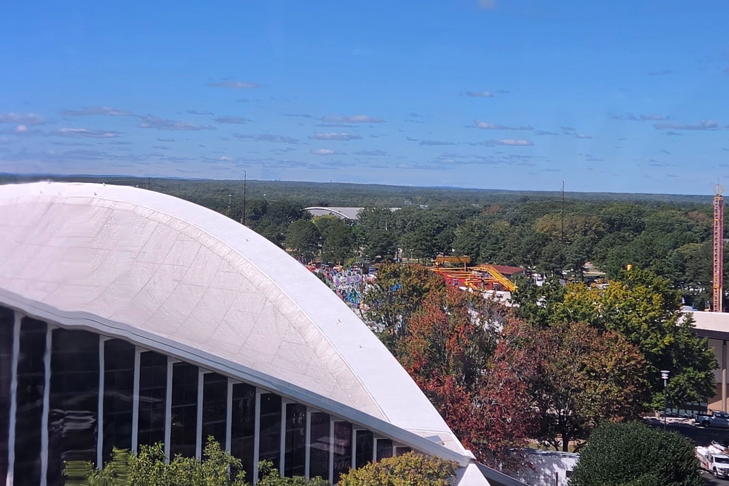
Absolutely. But let’s talk about the forecast this weekend. We got the closing of the North Carolina State Fair. Are fairgoers going to have to be wearing toboggans, jackets? Do they need to bring an umbrella, or is it going to be another just calm weekend?
“Well, you know, we look back at this first week at the State Fair, and again, we saw that big temperature change. I’m sure the fair organizers will like to take credit for that. We know that this will not be a rain-free State Fair because they did see about three-quarters of an inch of rain last weekend. Otherwise, the weather has been just picture-perfect.
“They have had mostly 70-degree afternoons this week. We’ll have another one of those today. It looks like it’ll be just a degree or two cooler tomorrow, probably upper 60s to near 70. But then, through the rest of the weekend and through early next week, it looks like, again, another perfect fall-like forecast: sunny skies, highs right around 70 degrees.
“Some of those nights could be a little bit chilly. You may see those lows dropping down in the 40s, so if you’re going to be out there early or late, you may at least want to bring a light jacket with you, but no signs of rain in the forecast either through the end of the fair or through the end of this month.
“Right now, it’s looking like your Halloween forecast will again be pretty sunny and clear, and then the best rain chance in the coming outlook looks like it’ll be around the start of November. This could be one of those classic cases of flipping the page on the calendar and it changes our weather. So, again, for now, we will enjoy this nice fall-like weather while it lasts. Have a feeling by the time November gets here, we will be looking forward to a little more rain.”