
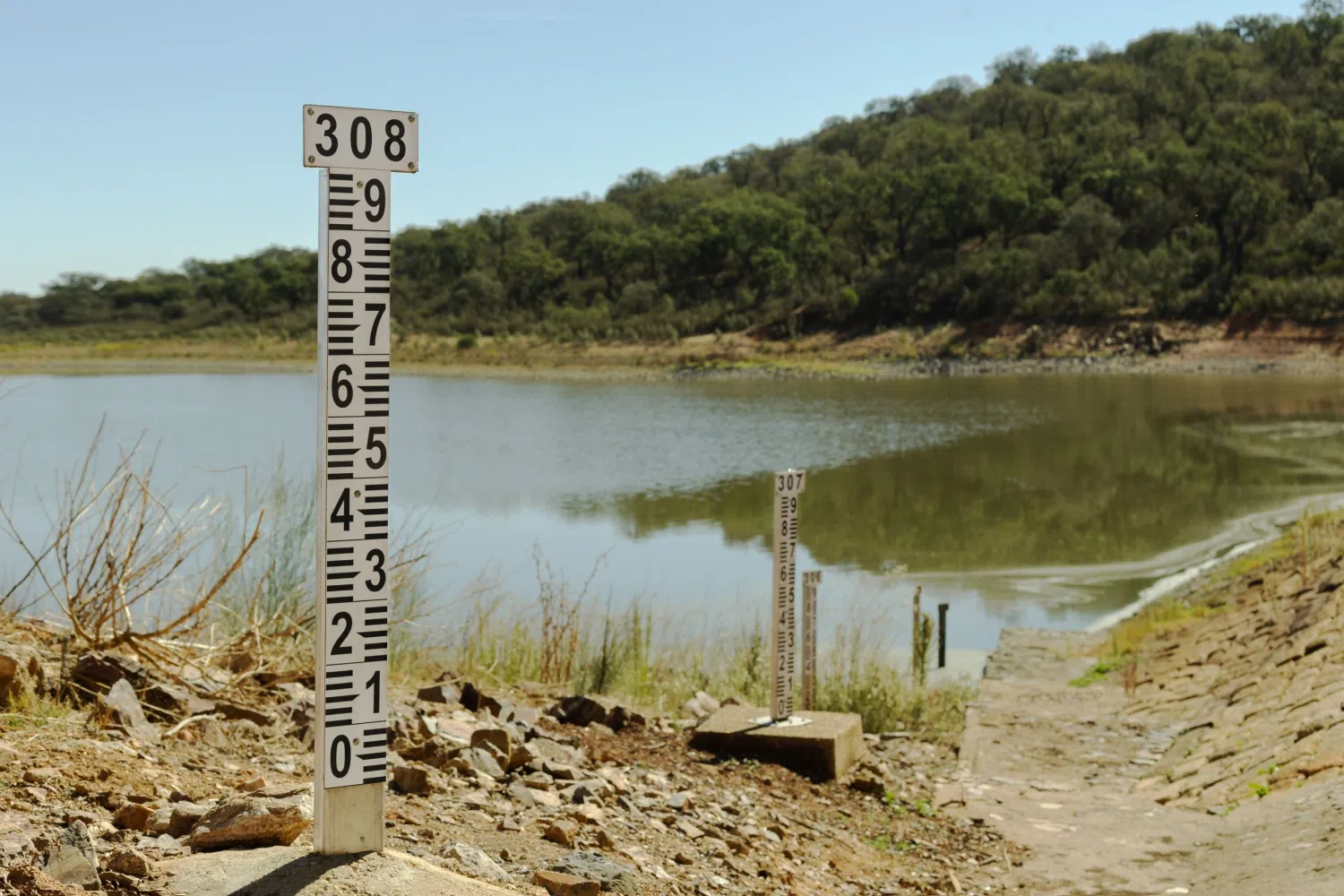
Well, normally Groundhog Day is in February, but it seems like we’re in a constant loop. We’re seeing the same thing: drought, no rain and cooler temperatures. So, if you listen to this interview and it seemingly sounds familiar, it has. And we have State Assistant Climatologist Corey Davis here to talk about it. Corey, for like the last four or five weeks, we have led off with this. So, let’s talk about the drought. Did we see any rain in the Carolinas? And if we have not, how has that impacted the drought map?
“Well, we talked last week about the big weather event that was unfolding across the state. We had that cold front that started moving across the mountains last Wednesday. This was a fairly slow-moving system. It took its time. It took a couple of days before it got offshore. So, we did think we could see some decent rain out of that.
“But we talked about last week. This is not your typical fall front. This was more of a summerlike system, and the rain we were getting would be very localized. It will be heavy in spots, but a lot of places would get nothing at all, and that’s really what we saw unfold, especially across the eastern half of the Carolinas late last week.
“If you just look at the rainfall totals, some don’t look that bad. We had parts of Wake County near Raleigh that picked up almost two inches. Parts of far northeastern North Carolina had two to three inches, but if you were in those areas and you checked the ground or you checked the local streams a day or two later, it looked like nothing had happened at all, and that’s because most of that rain fell in a very short amount of time and, again, was very highly localized.
“The other bad news is that most of that heavier rain fell downstream of those major lakes and reservoirs, especially ones like Falls Lake and Jordan Lake and then even getting out toward Lake Townsend and Greensboro. They just didn’t see that much rain, so that means they really didn’t see any improvement over this past week.
“So, when we look at the latest drought map, the one area where we do see some positive changes is out in the mountains. Again, they got that rain earlier in the week. It was a little bit longer-lasting. They had some higher amounts, three to four inches in spots. So especially down in the southern mountains, we don’t see as much of that moderate drought on the map this week. Their streamflow levels, for instance, are still in really good shape, near normal after that rain.
“Further east, though, it’s a different story. We have seen some more degradations, especially down in southeastern North Carolina and parts of eastern South Carolina. That means the return of extreme drought, that D3 level on the map, down in places like Brunswick and Bladen counties. On the South Carolina side, Sumter and Orangeburg counties are now back to that extreme drought level.
“So, you’re right, Kyle. It feels like deja vu. It feels like every week lately we’ve been talking about missing out on the rainfall, watching that drought continue to get worse and worse. And unfortunately, even with the rain that we saw last week, we are still in a worse situation as far as the drought goes.”
Well, we truly know it’s not Groundhog Day until we see Bill Murray just walking across the parking lot. But, you know, one of the things we really haven’t touched on is the fall wildfire season. Now we are starting to get toward the middle of November. Talk to us a little bit about the wildfire season, and have we started to see any wildfires pop up in the Carolinas?
“Yeah, usually in the Carolinas, the spring is our big time of the year for wildfires. It actually wasn’t as big of a fire season this year. At least we didn’t see that many very large burns across the eastern part of North and South Carolina.
“But now we’re starting to see that secondary peak of activity in the fall. This usually coincides with that leaf drop that has lots of dead vegetative material all around the forest floor. It’s very easy to burn, and then especially when we get to that first freeze of the season, that sends a lot of the vegetation back into dormancy. That makes things even more flammable, and we’ve started seeing that in parts of western North Carolina over the last week.
“Back on Monday, there was a brush fire in Watauga County, just north of Boone, that burned about 38 acres. It was near several homes, and the Forest Service investigated. They found the cause was there was a fire pit that I’m sure the person running it thought they had snuffed it out, but they got some wind gusts. They got some dry weather that rekindled that fire pit and caused that fire to spread.
“So that’s another good sign of just how dry and just how flammable things are across the landscape right now. Even a small spark could be enough to ignite a fire, and as we go through these next few weeks, we expect to continue seeing more fire activity even across parts of eastern North and South Carolina. Of course, that’s where we’re dealing with the more severe drought right now.
“We’re getting reports this week from the North Carolina Forest Service that in some of the swamps along the Neuse River, they are already seeing that leaf drop. That’s several weeks earlier than normal, and that means it’s mainly because of the dry weather and the drought impacts. Don’t be surprised if you don’t see some more fires over these next few weeks. Again, it’s really just going to take some good rainfall to finally put this drought and put this fire season to an end.”
Now, I know we talked a little bit last week about the tropics. Just a quick update. Have we seen any areas that the National Weather Service is looking out for, or is it all quiet out in the Atlantic?
“Yeah, we could say it’s all quiet on the eastern front right now. No activity, no disturbances are being monitored at the moment by the National Hurricane Center, and that pattern we’ve been talking about all summer and all fall — high wind shear across the basin — is still true right now. So as long as that holds, and there’s no reason to think that it won’t through the end of the month, I think we can probably call this tropical season safely over. And, Kyle, that means you’re off the hook. That means we shouldn’t get a tropical storm or hurricane Kyle this year.”
We’ll hold off on the celebration until Dec. 1, but let’s take a look at the forecast. Are we going to see any rain this weekend? I know college football is starting to wrap up its regular season. High school footballs got its playoffs going on. Are they going to be dealing with any rain, or is it going to be cold temperatures?
“Yes, sadly, there’s no rain in the forecast through at least the next week, and we can talk in a minute about when we might see that next good rain chance. But you hit on the big weather story, especially this weekend. That will be the change in temperatures.
“We have had some nice, seasonable days in the 70s earlier this week, or up in the low 60s this afternoon. By tomorrow, we will be down in the 50s, and it looks like those 50s will hold through at least the middle of next week.
“That also means some cold nights on the way. We haven’t seen the first freeze of the season yet across most of the Piedmont and Coastal Plain in North Carolina, but it looks like at least some of those areas may see that first freeze this weekend, especially looking at Sunday morning. It looks like we could see temperatures getting in the upper 20s in some spots, especially further north, and then Monday morning could see more widespread 30-degree temperatures, even getting into parts of eastern North and South Carolina.
“So that will represent the end of the growing season for the crops that are still out there. Keep in mind, this first freeze is happening about two weeks later than normal for places like Raleigh, but still not out of the ordinary in terms of the timing.
“And then, as we’re looking a little bit further out, still looks mostly sunny, very dry through at least the middle of next week, if not the end of next week. And looking at some of the longer-range forecasts, they’re not really showing a great chance of rain until the Wednesday before Thanksgiving, so that’s almost two weeks from now.
“Even that looks like another one of these frontal systems moving in from the west. We know sometimes those break up as they cross the mountains, so we’ll have to wait and see if the forecast changes. But right now, as that cooler high pressure settles in behind the cold front this week, I think we can pretty much guarantee that we will see dry weather for the next seven days.”