

It’s another week here in the Carolinas, where we’ve seen minimal precipitation. Are there any signs on the horizon that we will end this drought? We’ve got state assistant climatologist Corey Davis here. Corey, what’s the drought map looking like now that we’ve had another week of dry conditions in the Carolinas?
“Well, you said it, Kyle, another dry week. We had some hopes of at least seeing a little bit of rainfall last Sunday night with a cold front that came through, but that system really just did not bring a lot of moisture, and most areas across the Piedmont and the upstate of South Carolina saw less than a quarter inch. A few spots in the mountains of North Carolina saw around half an inch from that system, but that still made for a below-normal week in those areas in terms of rainfall. So, we are seeing expanding dryness and drought across the Carolinas this week, including in some of those western spots like the Asheville area. They’ve now slipped into the abnormally dry category. And keep in mind, these areas actually were getting those heavier rain amounts even last month. So those dry conditions have certainly taken a toll in the western part of the state. Across central North and South Carolina, we’re now seeing the first signs of severe drought emerging, mainly around and just south of the Charlotte area, places like Rock Hill, South Carolina, and Monroe, North Carolina. Just to put in perspective how dry it’s been, they’ve seen less than an inch of rain over the last two months there, so again, just consistently missing out. And we’ve also seen more expansion of severe drought across parts of eastern North Carolina this week. These were some of the first areas that started drying out by mid- to late August, and again, very little rainfall in those spots last week.”
“And when we think about the impacts that this drought is having up to this point, it’s mainly been for our warm-season crops. We’ve talked about the soybeans, the cotton—some of the later planted ones especially—how they just didn’t get that rain at the end of the growing season that they expected. We’re all starting to hear now about impacts to some of the cool-season crops, especially some of the forages, the pastures, the hay fields. We got an extension report from Randolph County this week in central North Carolina, and they said that those forages are just not responding to any of the moisture that we are getting, and they’re not coming along like they would expect for this time of the year. So that’s a sign that we’re moving a little bit later into the season and out of the growing season, but it certainly is not a great prognosis for the farms right now. Just not much rain, not much moisture available in those areas.”
Now, I have noticed that it’s starting to get a little cooler, like 40-, 45-, and 50-degree low temperatures. So, I guess that begs the question: When are we expected to see the first frost? And then initially, when will we expect to see the first freeze of the season?
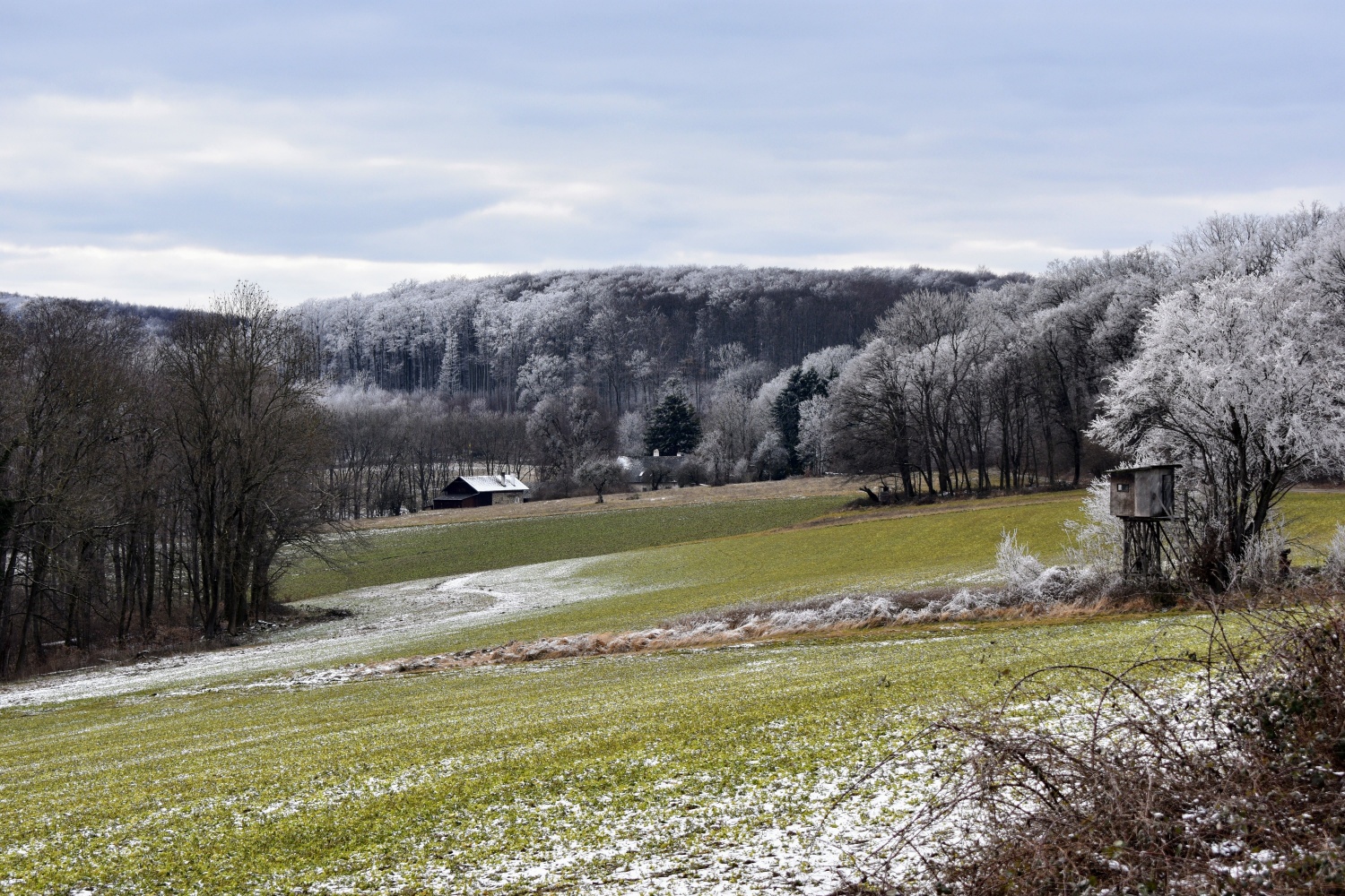
“Yeah, that’s another sign that we are very much progressing through the fall, and we have seen those fall temperatures all week. Back on Tuesday in the Raleigh area, we were in the upper 70s and actually a little bit above normal for this time of year, but we have seen the steady downturn in our temperatures since then. Yesterday, we were right around 70 degrees. This afternoon, it’s going to be more like the mid-60s. By early next week, we may not make it out of the 50s several days. So again, another sign of those cooling temperatures. But we have also thought some of those cooler nights, some areas this morning are in the low 40s. Tomorrow morning especially could be even cooler, and that could be the first chance of some patchy frost across parts of the Carolinas, especially as you head farther north and west.”
“But that’s a great question. When do we typically see that first frost? In the Raleigh area, the average first frost date is October 22, so we’re not too far off if we see those frosty conditions here in the last week of the month. And then, in terms of the first freeze, I always give, especially for the central part of North Carolina, that Halloween week as the guidepost for when to expect it. It’s either very late October or early November when most Piedmont areas tend to see that first freeze event. Keep in mind, it can happen a lot later than that. Last year was a good example, where Raleigh didn’t see its first freeze until Thanksgiving. So, it’s not a guarantee that we’ll see a freeze in the next couple of weeks, but we’re certainly closing in on that time when we expect to start seeing those 30-some-degree nights.”
I think a lot of people will be really comfortable with 30- and 40-degree nights right now after some of the hot temperatures we had over the summer. But let’s look over in the tropics. I saw another storm being formed. This is getting toward the end of the hurricane season. Can you tell us a little bit about Tropical Storm Melissa?
“Yeah, the Atlantic just keeps churning along, even though we are getting later in the season. We did see Tropical Storm Melissa develop earlier this week. The interesting thing about this storm is that it developed in the Caribbean, and this is the first storm in the entire season that we’ve seen develop over that Caribbean region. That’s typically one of the hot spots for activity in the Atlantic, especially during that peak of the season in August and September. They did stay quiet this year, and one reason was that we were seeing more wind shear across the Caribbean, especially early in the summer.”
“The forecast team from Colorado State University had pointed that out in their updated outlook from July, and they actually revised their outlook down slightly just because they were seeing that wind shear, and they expected that might hold down some of the numbers. But again, we have finally seen a storm form in the Caribbean. This also gives us one storm closer to that historical average, which is 14 in a year. Melissa is the 13th named storm of 2025, but right now, Melissa is moving a whole lot of nowhere. It is sitting just south of Jamaica, expected to continue bringing lots of rainfall over Jamaica, Haiti, and parts of Cuba. So, this could be a real rainmaker for those areas. Eventually, by early to mid-next week, Melissa should finally start moving off to the east. So, this is not a storm that will affect the United States, but it certainly will have some effects across the Caribbean islands to our south.”
Now, just to follow up, you’re talking about those wind shears in the Caribbean. Could those have also helped some of the storms that would have come toward the Carolinas kind of push off toward the east?
“Yeah, we think about that Caribbean region. Some of the storms that formed down there last year—we had Hurricane Helene—that formed in that same basin, very similar to where we see Melissa right now. So not having storms down in that region probably prevented some storms that could have affected especially the western Carolinas from developing this year. To think about historical storms that have formed at this time of the year, Hurricane Matthew was a very notable October storm back in 2016. It also formed right down there in the Caribbean and took a pretty much due-north track to make it along our coastline. So yeah, we see that lack of storms in the Caribbean this year, and it certainly makes us think we probably missed out on at least one or two storms because we didn’t see those formations in that region.”
Let’s look at the forecast. I know up here in North Carolina the end of the fair is coming up again. So, what do fairgoers have to dress like? Do they need to bring out the heavy jackets or light jackets for the end of the fair?
“Well, here’s what I stumbled upon over this past week: The State Fair, since 1969, has completed with no measurable rain nine times. This year will not be one of those times. We picked up a few hundredths of an inch late last Sunday night. But again, it looks like it is going to be an overall very dry fair, and that shows no signs of changing through Sunday.”
“We did mention temperatures are on the decline, and that will continue this weekend. It looks like mostly highs in the low to mid-60s on Saturday and Sunday. Those nights definitely will be chilly. It wouldn’t surprise me to see some 30-degree readings in the Raleigh area, especially on Saturday morning. So, if you’re headed out first thing, you’ll definitely want to bring that jacket along, and it’s not going to be a bad idea to have it during the day as well, especially in the shade.”
“Once we get past the weekend, that’s where we’ll see the better chances of rain returning—another weather system moving in from the west. Most of those systems, like cold fronts, have not brought a lot of moisture recently, but this one looks like it may have a little bit more moisture impact. So especially beginning on Monday noon and Monday evening, we should see those rain chances increase, and that rain may stick around for a couple of days. So, between Monday and Wednesday, I think most areas will stand to see half an inch to an inch of rain—certainly not a drought-buster like we need at this time. But a little bit of rain can go a long way, especially since it’s been so long since we’ve had a decent soak. So, I will hope for a good, sunny end of the fair and then a nice, wet start to next week to bring some of that needed rainfall.”