

Well, as we get closer to Thanksgiving, some people were shocked Monday night to see snow in multiple areas of the Carolinas. We’ve got state Assistant Climatologist Corey Davis here. Corey, we saw snow in parts of the Triad and even as far south as Myrtle Beach. Tell us what happened with that.
“Yeah, it was only in the last couple of weeks that we started talking about the first freeze of the season coming up, and we’ve already got snow before the middle of November. So, as the kids these days say, that escalated quickly. We did have a very strong cold front that moved through on Monday night. Not a ton of moisture with that front, but enough to bring some snow showers.
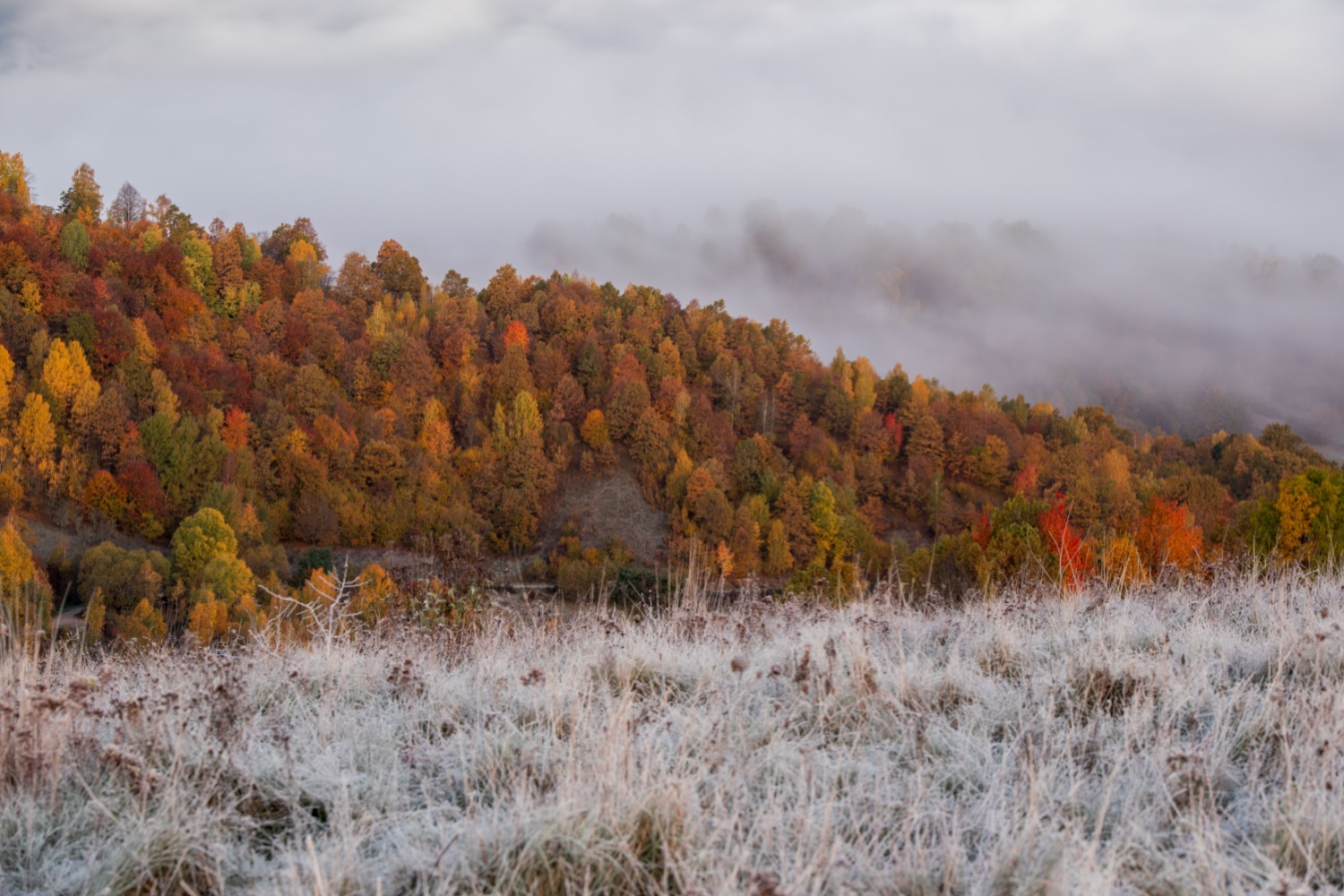
“And it wasn’t just in the mountains, although that was where we saw the higher totals. The Asheville area had about an inch. Parts of the Great Smoky Mountains had more than four inches, so pretty substantial snow in those spots, especially this early in the season.
“But as you said, we saw those flurries continue as they tracked across the Carolinas. I know the Triad and the Triangle all picked up at least a few flakes and a trace of snowfall at the Raleigh airport. But then even out at the coast, we saw some snow there as well — parts of central and eastern North Carolina. I saw a solid dusting, close to half an inch, on the ground. So that was more than just flurries. That was a pretty decent snow. And again, you look at the calendar, and it’s hard to believe, because it is only the month of November.”
And it’s weird, because literally, like, 24 hours earlier, it was in the 70s. So explain — even with that drop in temperature — how the snow can actually start to form with that variance of temperatures.
“Yeah, we saw the air mass that was building in behind that cold front — just a truly cold, Arctic air mass that was coming in from Canada. When you have that much cold air, especially cold air aloft, that is enough to get that precipitation into a frozen form. And then as it was falling through that cold atmosphere, it stayed frozen — it never melted into rain. So that’s the sort of thing that we’re used to seeing maybe in the middle of January. We had that a little bit last winter, but again, to see it that early in the season, in November — an all-snow event like that — it’s pretty uncommon.”
And one thing we talked about last week was the first freeze. I believe it’s safe to say that a lot of areas have had their first and/or second freezes of the season.
“That’s exactly right. Yeah, after that snow had moved through on Monday night, we saw that truly cold air settle in. By Tuesday morning, most of the inland areas in the Carolinas dropped down into the 20s. Some of our high-elevation stations in the mountains had single-digit temperatures. So, when you factor in the winds, they were well below zero for the wind chills.
“But even across eastern North and South Carolina, we saw some downright cold air for this time of year. Down in Charleston, they tied their daily record low on Tuesday morning of 29 degrees. Wilmington made it down to 31 on Tuesday morning. So at this point, basically everywhere except some of those immediate coastal spots along the Outer Banks have seen their first freeze of the season.
“As we mentioned a couple of weeks ago, this is pretty much on time — maybe a week or so later than normal — for places like Raleigh to see their first freeze event. But it was actually an earlier freeze for places like Wilmington. They typically don’t see that first freeze until Thanksgiving week, so it happened a week or two earlier than normal in those coastal spots.”
Now that we’re talking about having that first or second freeze, one thing we don’t want to forget about is the drought map. We’ve had minuscule precipitation over the last couple of months in the grand scheme of things. So how’s the drought map looking, and how is it affecting the farmers in the Carolinas?
“Well, the good news is there was really no change across the Carolinas this week. The snow we had really didn’t do a whole lot, but we also saw some liquid precipitation in the form of rainfall. Most areas saw around half an inch or so in the past week, but along with those cooler temperatures, that really kept things from degrading any further.
“You mentioned the impacts to agriculture, and one of the big ones is now that the growing season is done, that’ll pretty much take care of any of those summer crops that were still out in the fields. But a lot of the farmers are still trying to get some of those winter crops — the wheat, the small grains, the pastures — going, and they certainly need a little bit more rainfall to really kick-start the growth for those winter crops right now. So we’ll hope in the next couple of weeks we do get a little bit more rainfall.
“But one thing to watch out for while we’re still seeing this drought ongoing is that any windy days we have could start that fall fire season going, especially now that we’re getting those leaves falling off the trees. Now that we’ve had that first freeze that’s starting to kill off some of the vegetation, that will really ramp up that fire risk for the rest of this month.”
All right, before we look at the forecast, do we have any updates over in the tropics? Is there anything going on there, or is it all quiet?
“Yeah, I’m gonna say no news is good news right now. There is no activity in the Atlantic, and no systems are expected to form over the next seven days. And as we cross the midpoint of November here this weekend, I think it’s looking like the tropics may be done for the season. Don’t want to rule out just a fluke late-November storm, but certainly that would be a pretty rare event this late in the year.”
All right, so what’s the forecast looking like around the Carolinas?
“Well, it won’t be that same roller-coaster ride that we had last week. You mentioned, Kyle, we were in the 70s last weekend and then dropped down to the 40s — and even those overnight lows in the 20s — on Monday and Tuesday. It’ll be a little bit calmer over the next seven days, but we will see a warming trend, especially through Sunday.
“Our highs will be in the mid-60s this afternoon. We’ll make it into the low 70s on Saturday and into the upper 70s in some areas on Sunday. So really, a beautiful weekend in store — just a few clouds out there, and again, those nice warm temperatures. Late Sunday night, we do expect another cold front to come through. Really no moisture with that system, but that will knock our temperatures back by 10 degrees or so for Monday.
“Also, again, watch out for the winds, especially on Sunday and Monday. Looks like we could have some breezy conditions behind that front. So this is definitely not a time to get any outdoor burning done. Beyond that, it looks like maybe a chance of rain on Tuesday as another system comes through. Right now, the totals are looking pretty light — probably less than a tenth of an inch in most areas. So, unfortunately, looking like another dry week, but temperatures are going to be pretty solid for this time of year.”